Arrival to Kathmandu and preparation for the trek.
On the 31st August 2016, I landed at Kathmandu airport (KTM) onboard the flight TG319 (B777-200).
As the airport was fairly empty, baggage collection, visa application and passport control went rather quickly. The funniest thing was the customs control as the agent simply asked my airline and told me to move on.
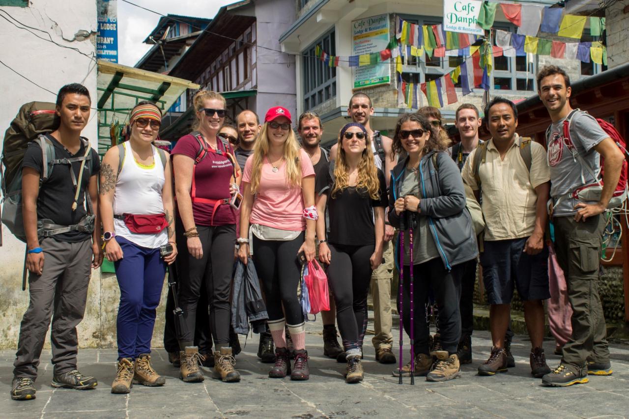
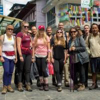
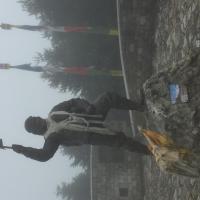
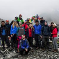
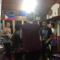
Leaving the airport, I experience a typical Kathmandu experience, trying my way out of the airport through a flow of taxi drivers and tour operator’s salesmen. Once arrived at the Kathmandu Guest House, one of the most iconic hotel in Thamel (and probably the most beautiful, https://www.ktmgh.com/ ), I met my roommate for the trip, Noah, from a place near Sydney, and later the rest of the group. Our main guide for this journey is called Prem, while the group is composed of a mix of individual traveller from diverse horizons. What marked me at first was that diversity of profiles. I was expected a bunch of young sporty individuals. While we were most of us in our 20’s/ 30’s, there were different level of fitness.
Day 1: Flight to Luckla and start of the trek to Phakding (2610 m)
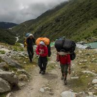
Early start of the day, we met in the lobby of the Kathmandu guest house by 5 am, our gears ready. We had packed the night before our day bag plus the rest that will be carried during the trek by the porters. The challenge of this packing exercise is to plan for every type of weather but with a strict weight limit of 10 kg for the duffel bag and 5 kg for the day pack.
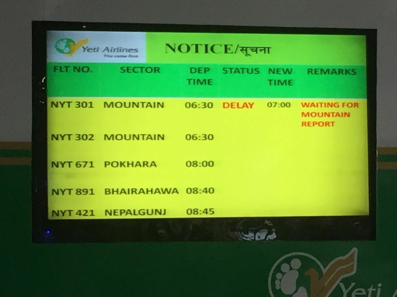
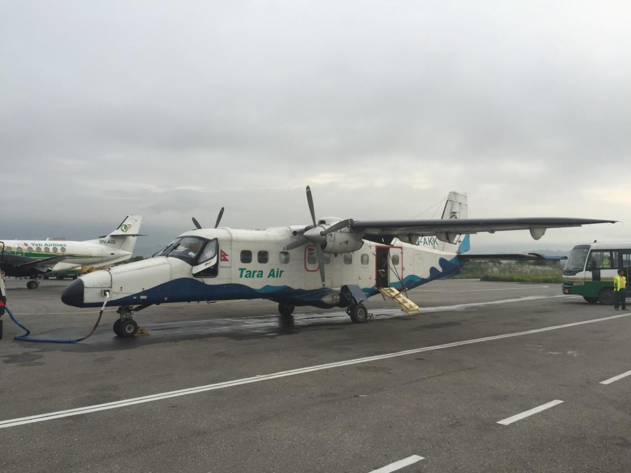
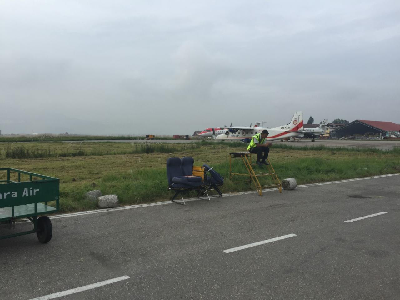
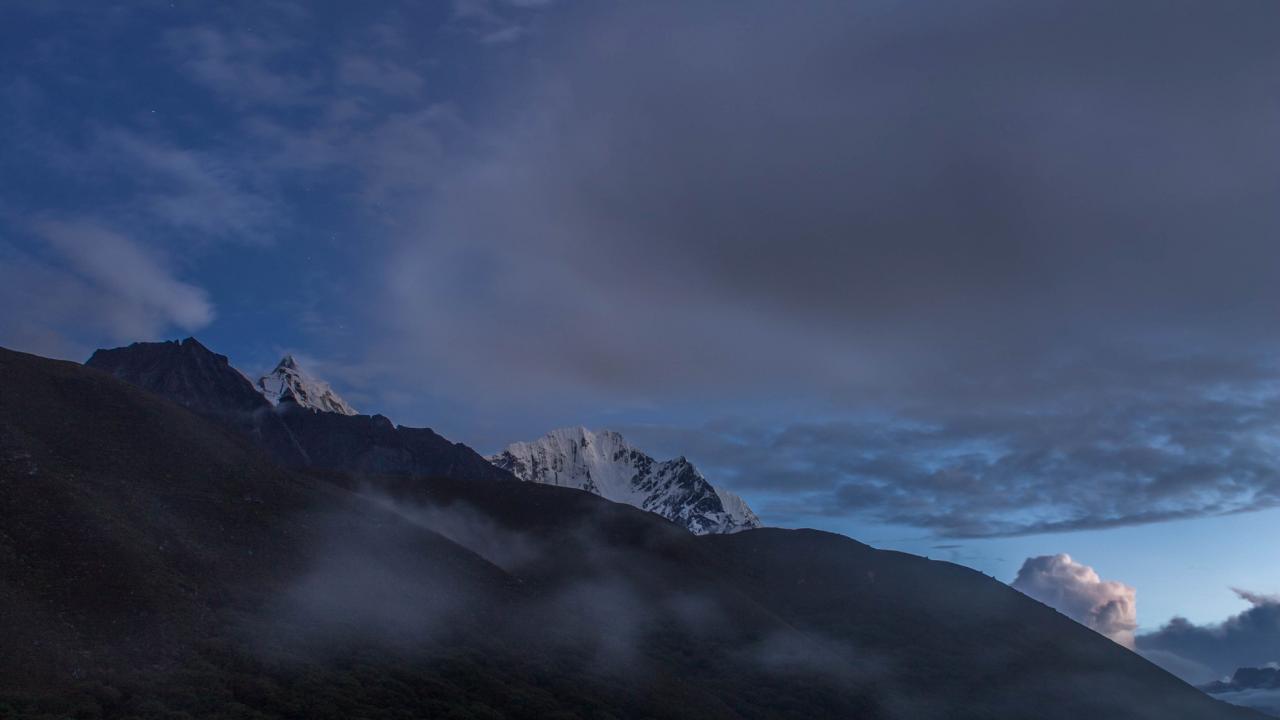
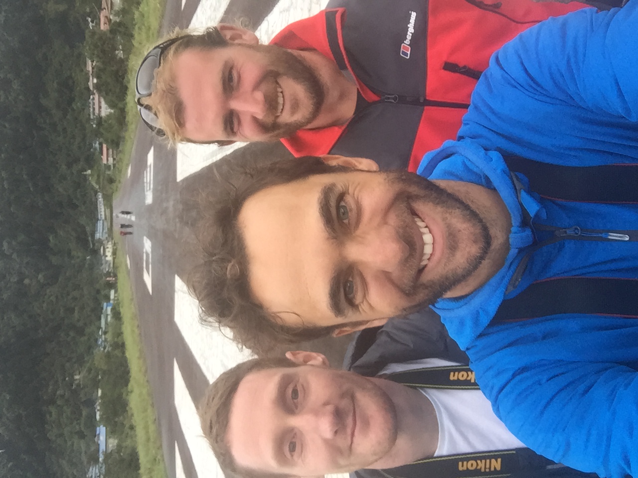
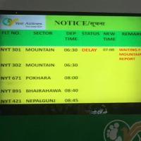
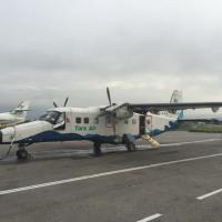
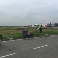
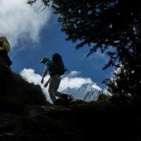
Arriving at the domestic airport, it was interesting to see an unorganised manual operation… I can only imagine the mess during peak season. It was funny to see the tickets written manually, the bag weighting procedure and the security checks. Luckla, being one of the most dangerous airport in the world, we had to wait for a favourable weather window in order to take off. The second attempt was the right one J. We flew onboard a Dornier 212 from Tara Air (a subsidiary of Yeti airlines, http://www.taraair.com/ ), lightened of a row of seats in order to fit the weight limitation of Luckla airport. The flight lasted 30 minutes above rich and luxuriant valleys and for a view a mountain chain of 6000 + meters high peaks.
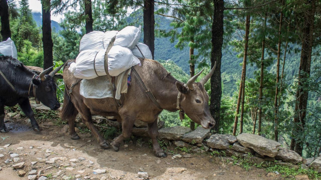
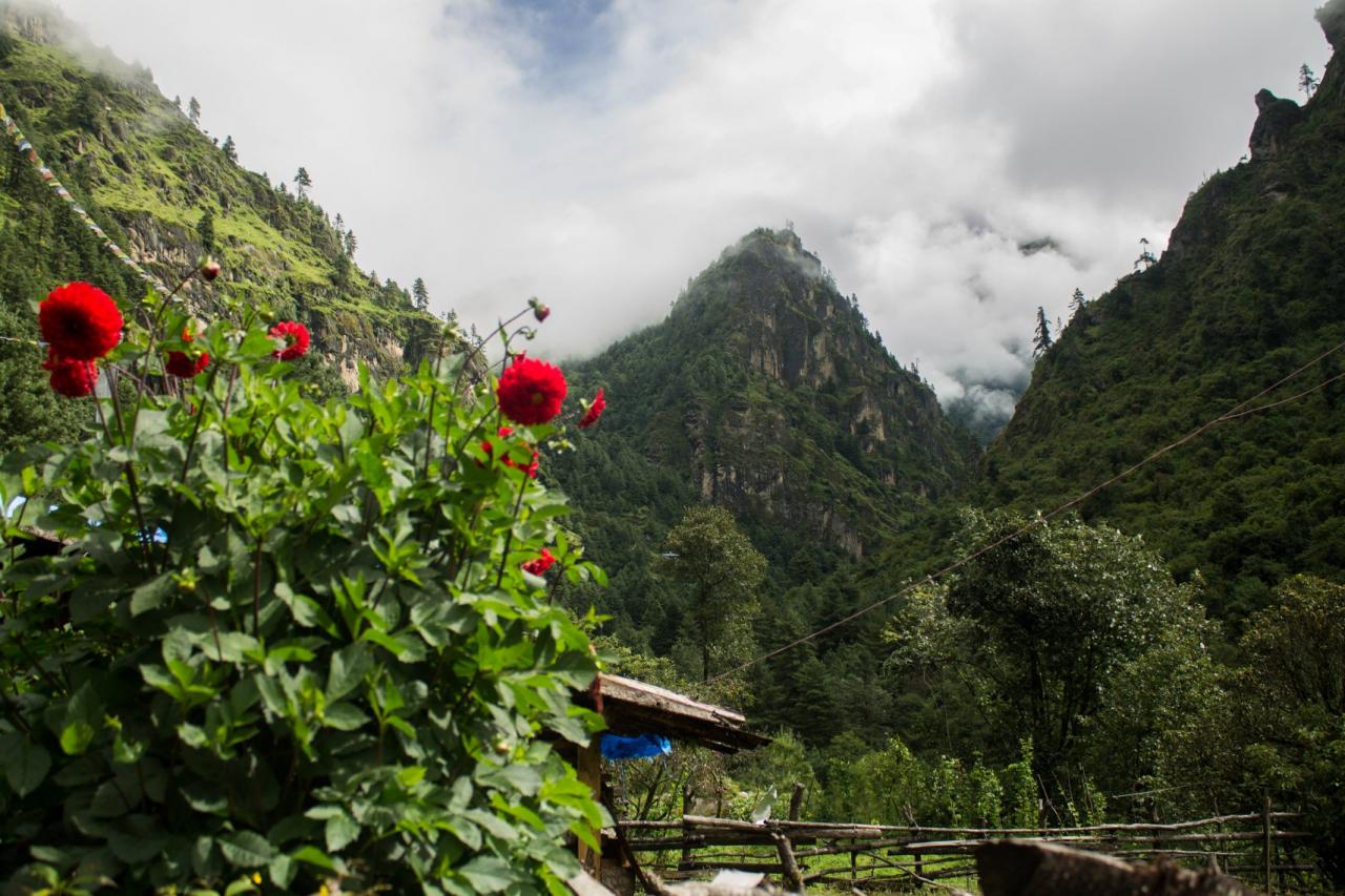
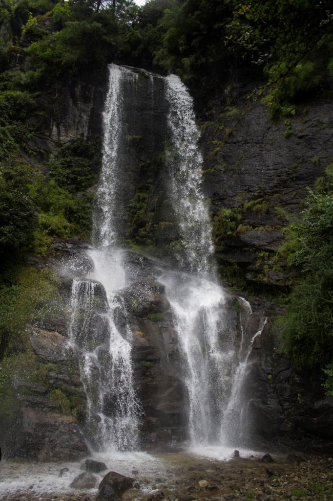
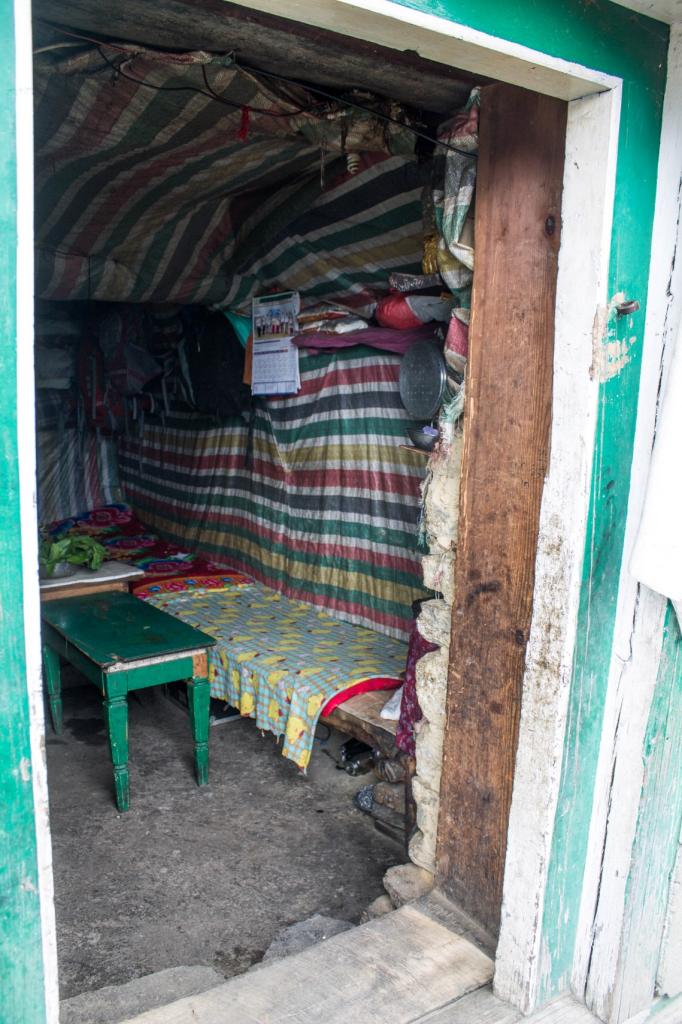
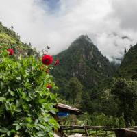
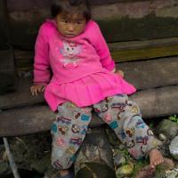
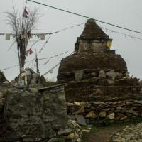
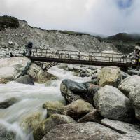
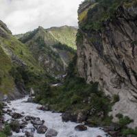
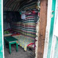
After landing on short and steep runway and a breakfast, we took off direction of Phakding. On the way, we went through several tiny colourful villages full of tourist shops and restaurants. We were walking on the hill of the powerful Milky river. After 6km (200 meter descents) in 3 hours we arrived under the rain at the tea house. More to come tomorrow, in the meantime, Momos are on the menu for tonight yummi!!!!
Day 2: Phakding to Namche Bazaar (3440 m)
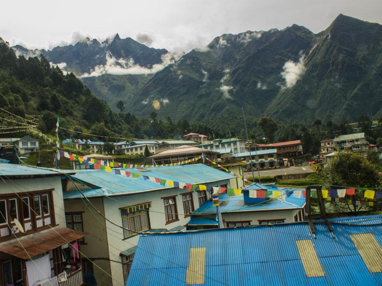
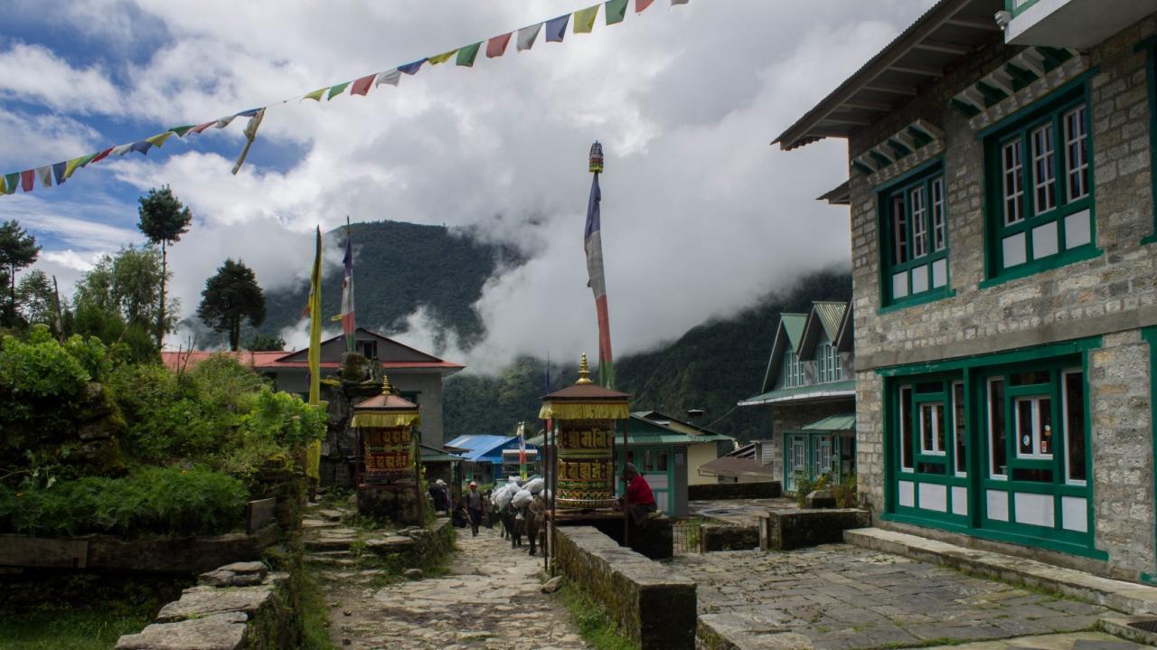
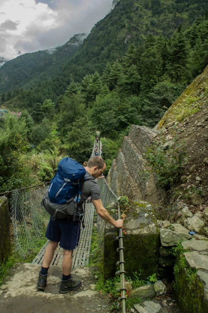
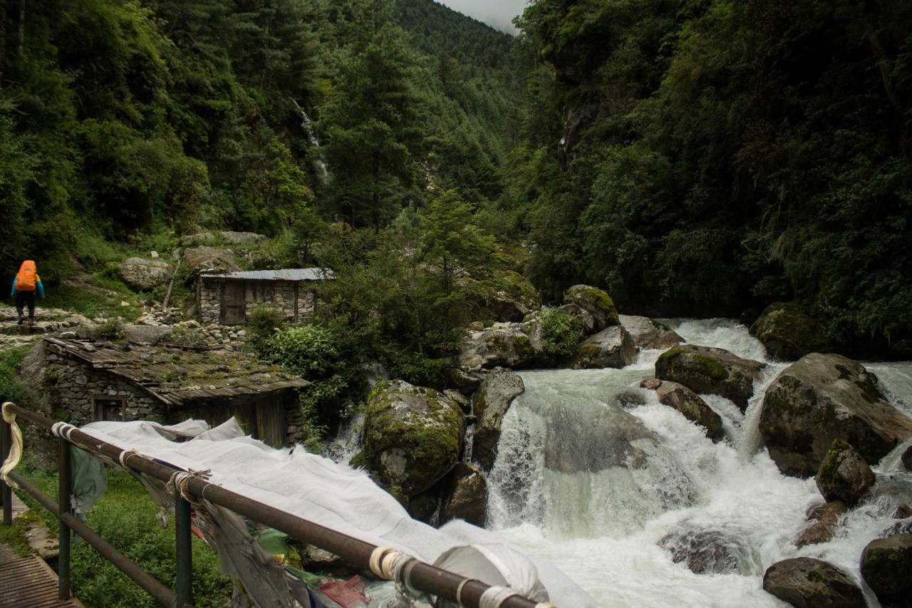
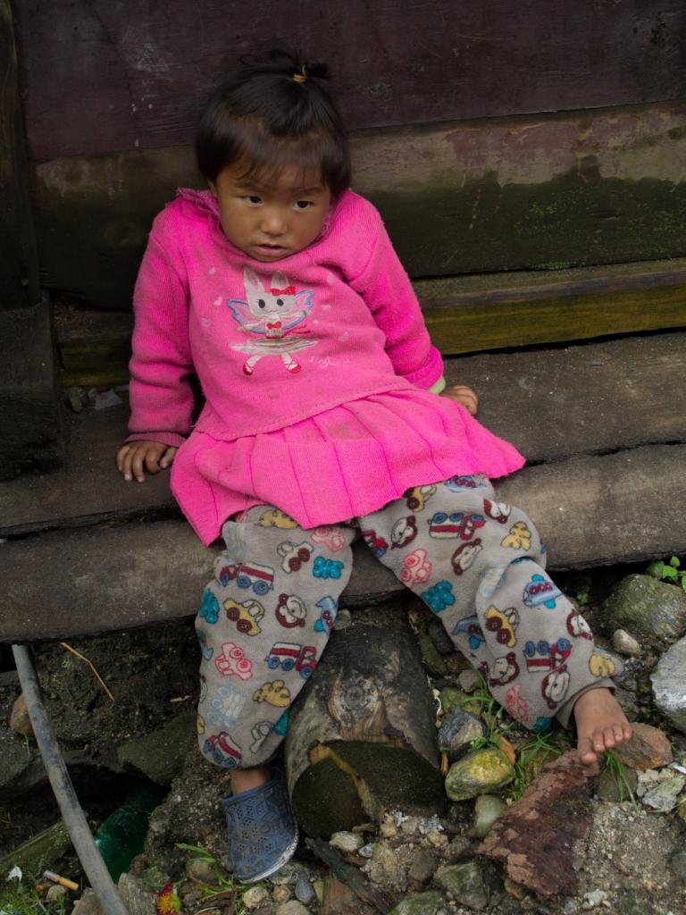
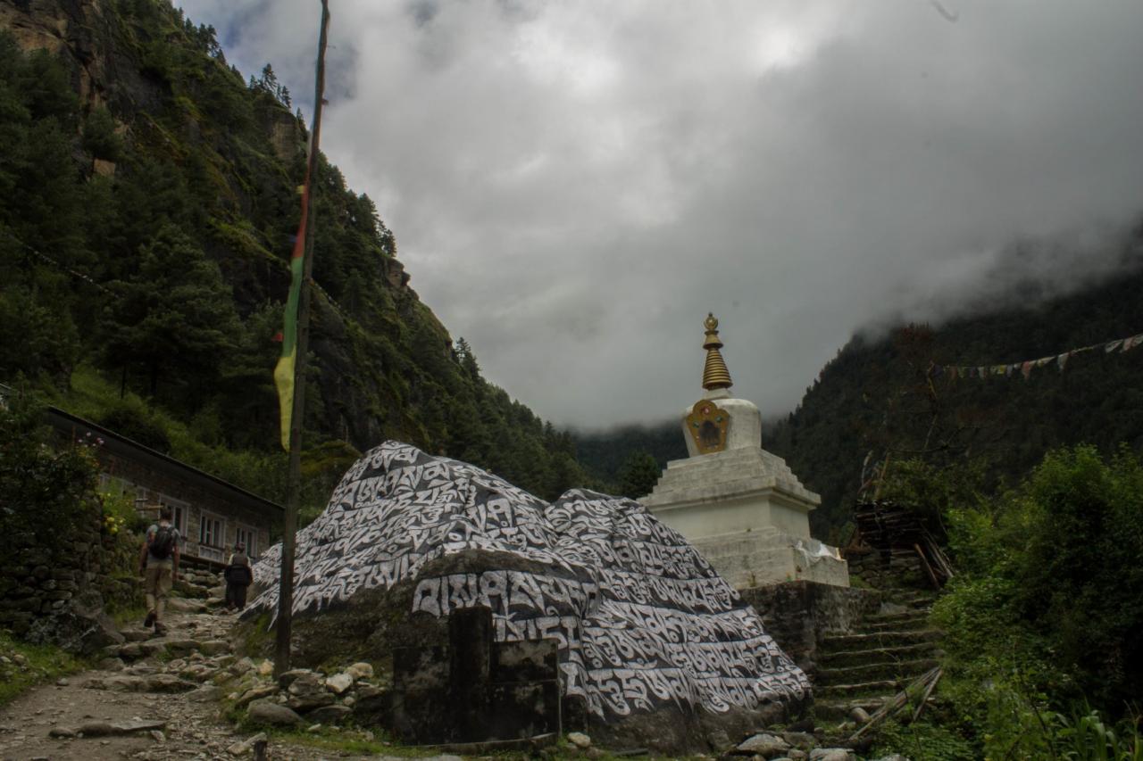
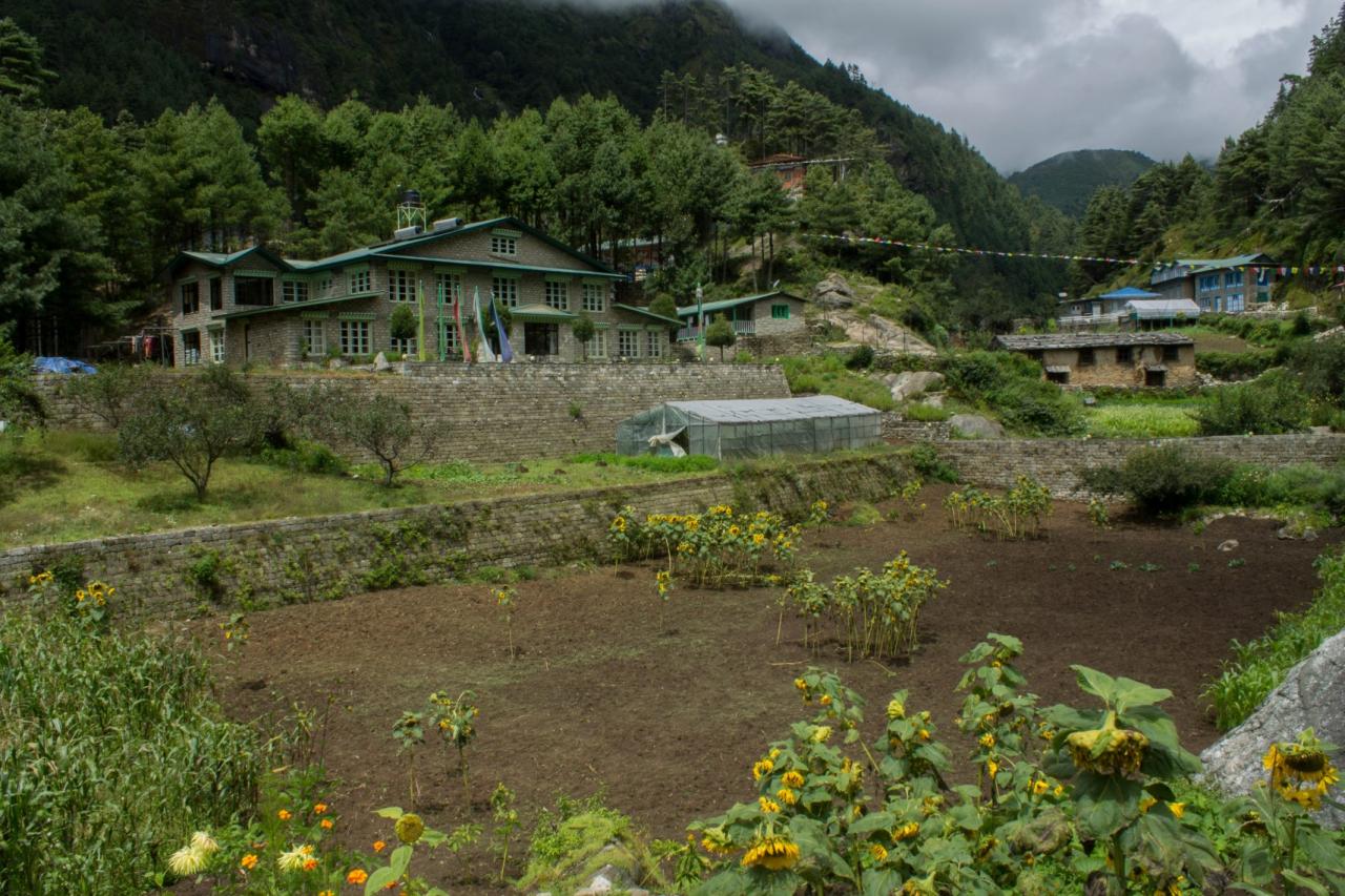
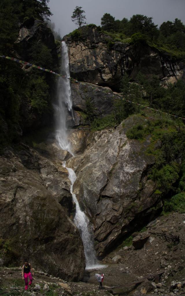
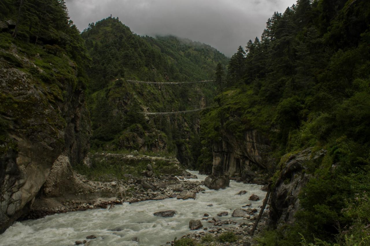
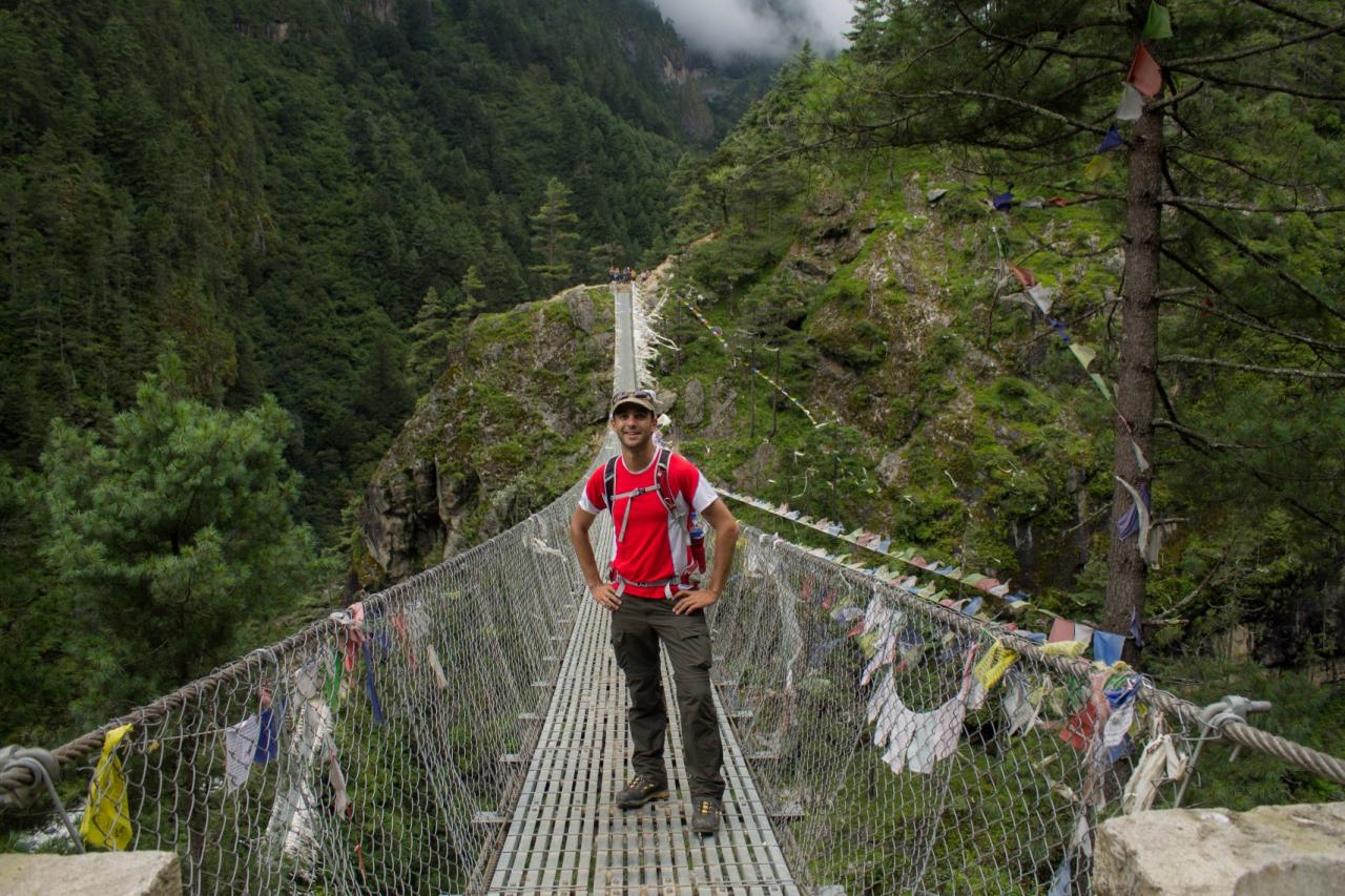
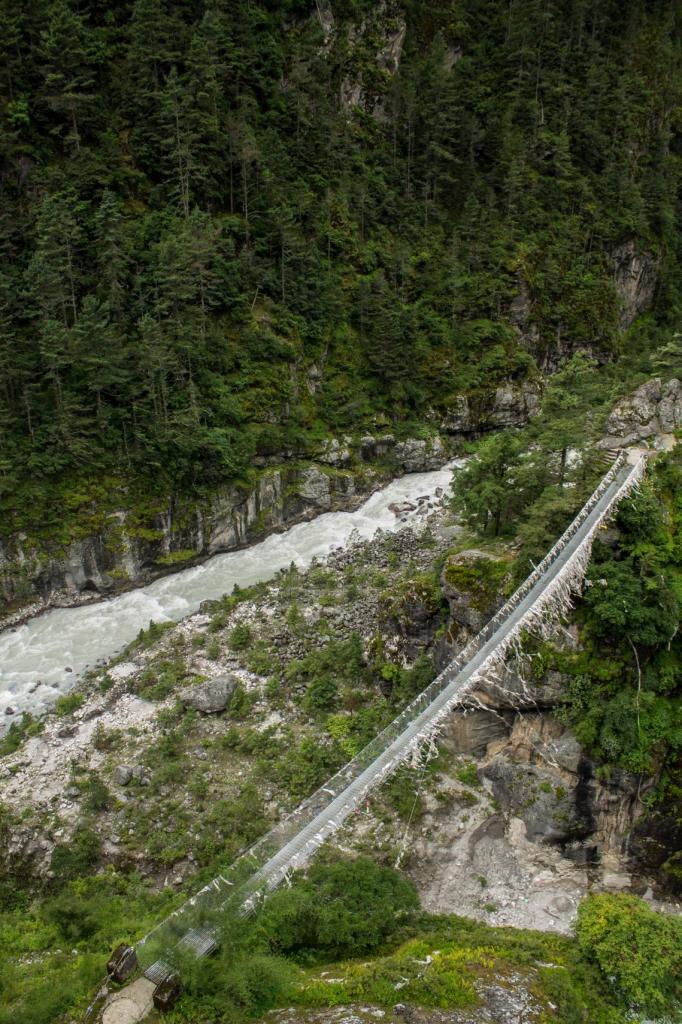
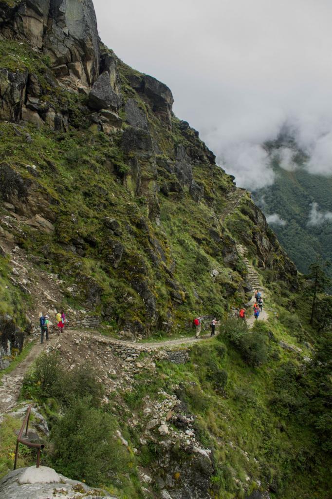
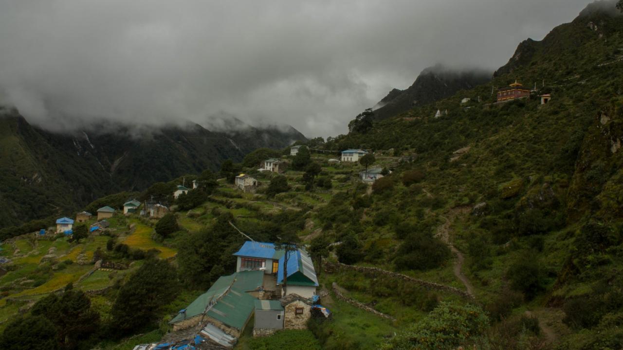
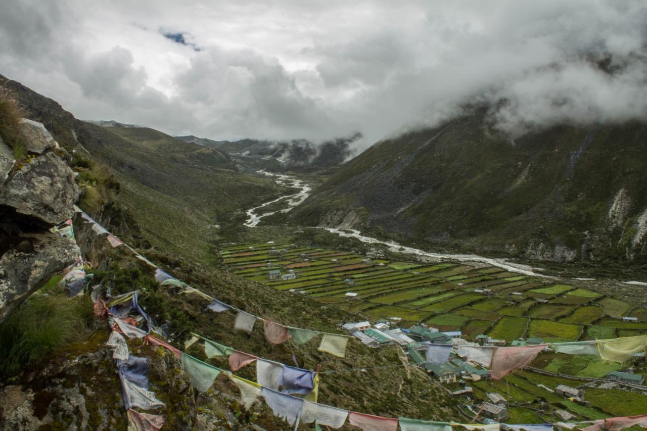
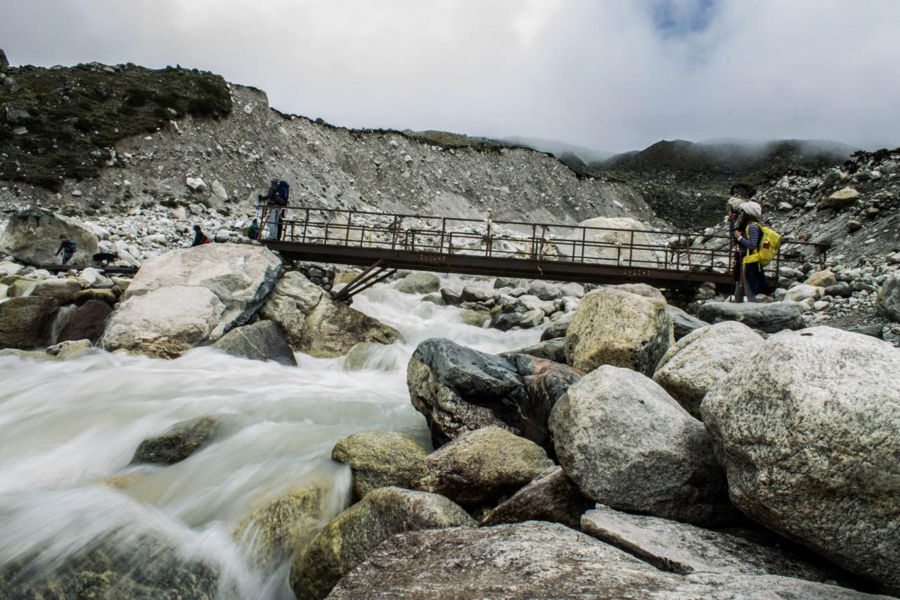
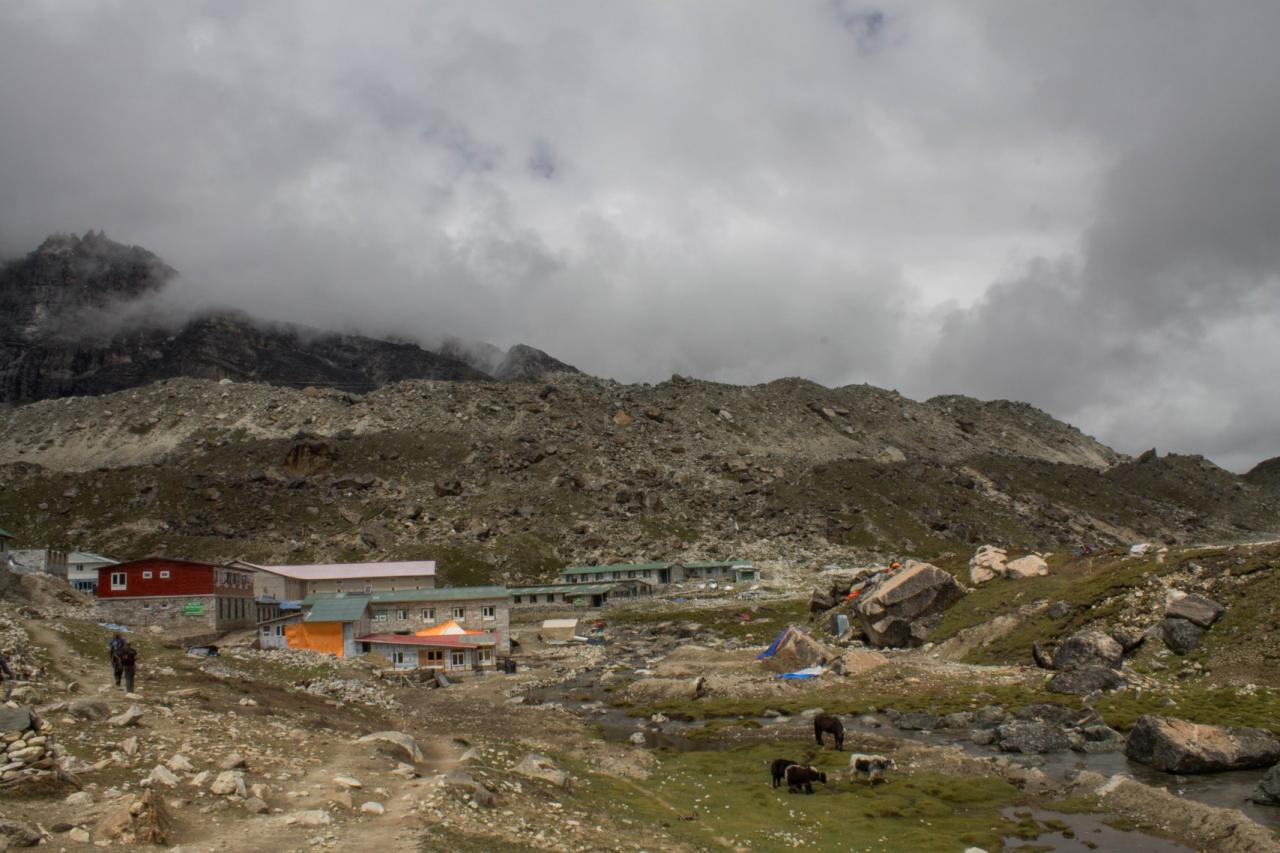
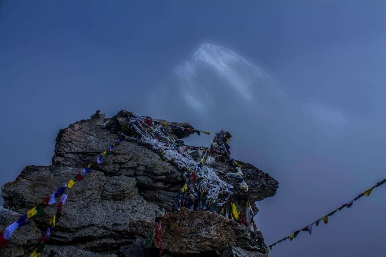
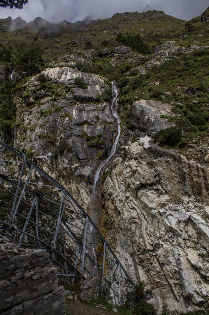
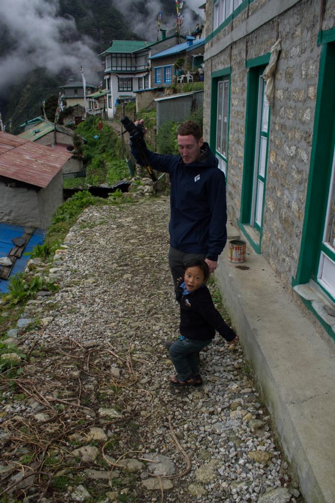
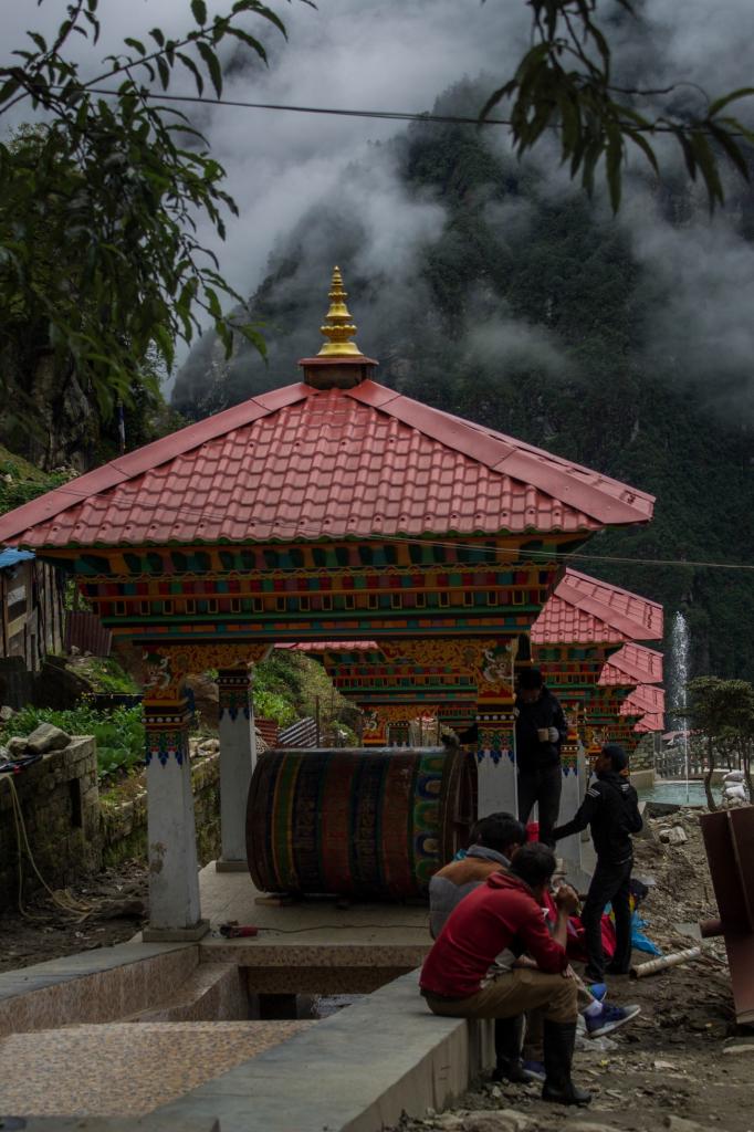
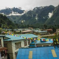
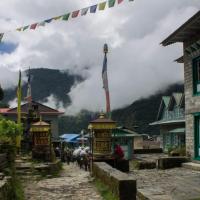
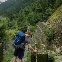
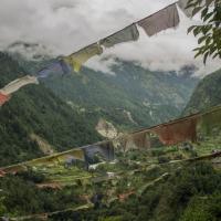
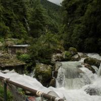
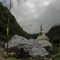
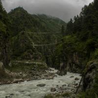
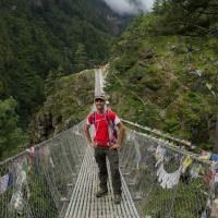
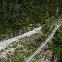
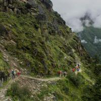
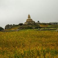
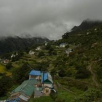
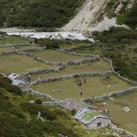
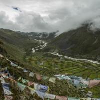
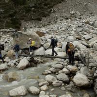
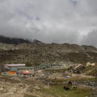
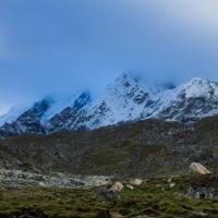
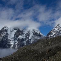
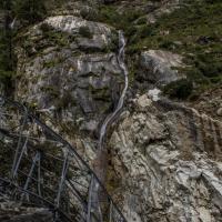
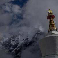
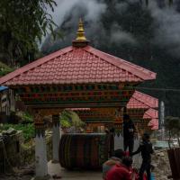
We sat off at around 07:40, on a cloudy morning, following the same valley as the day before, crossing sleepy villages and watching local women brushing their long hair outside (the windows are used as mirrors) while tiny infants were greeting us with a smily “Namaste”. The highlight of the day was to cross a very scenic suspension bridge, called kusma-gyady bridge which is about 3000 meters high (the highest suspension bridge in Nepal). Finally, at the end of a steep path in a green pine forest we reached our destination, Namche Bazar, the administrative centre of the Khumbu region. Namche is a compulsory stop in the Everest region.
Day 3: Acclimatisation day at Namche Bazaar (3440 m)
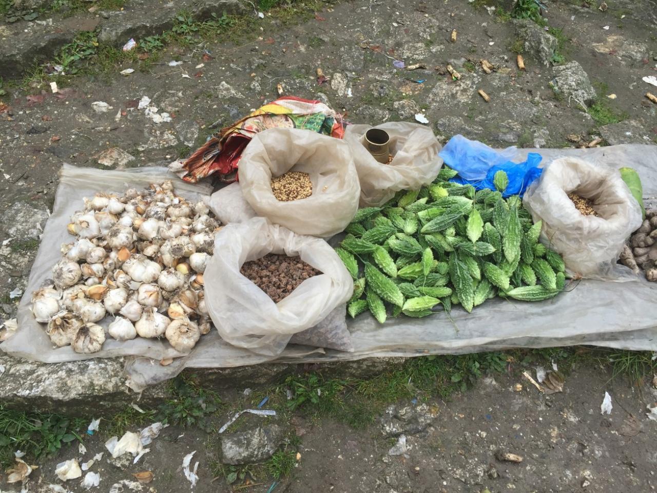
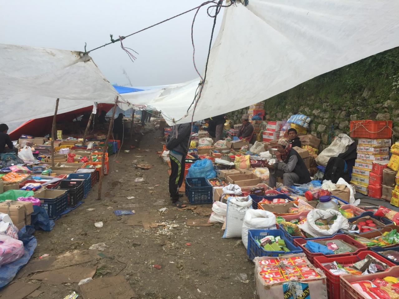
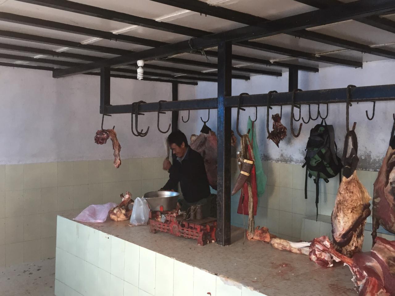
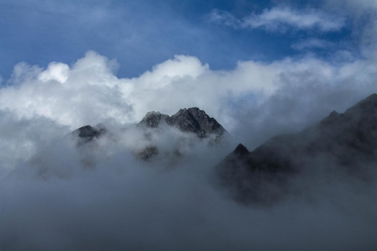
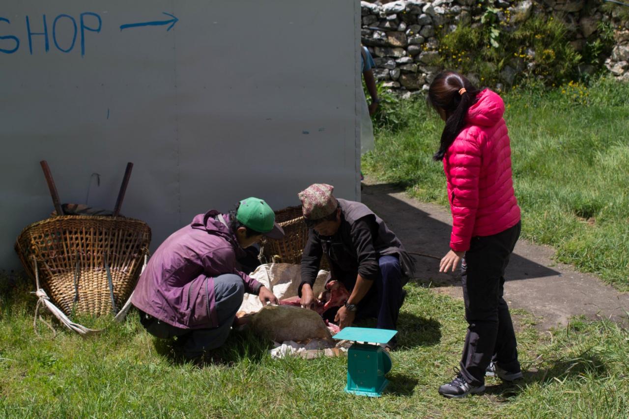
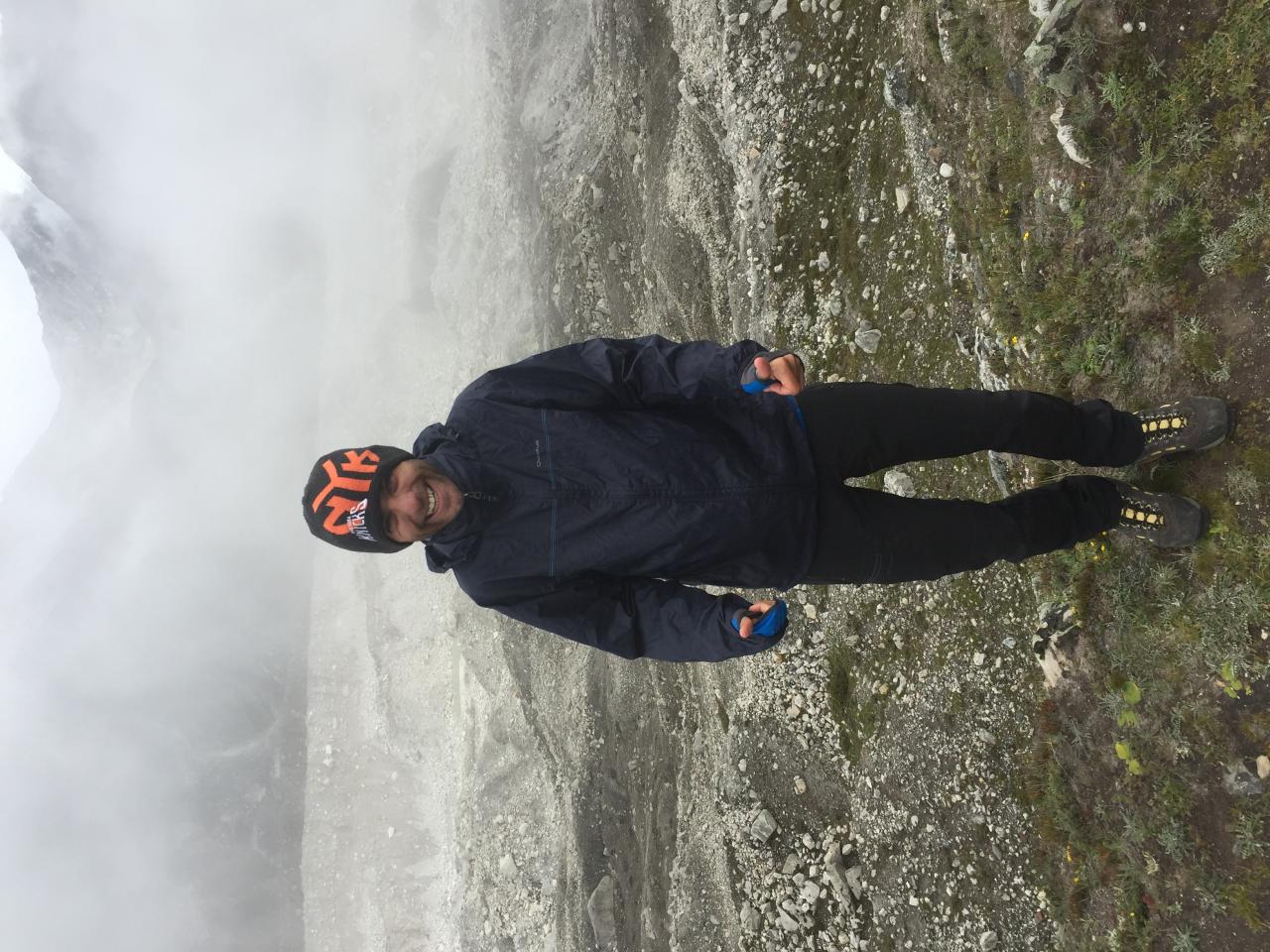
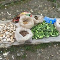
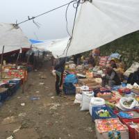
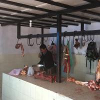
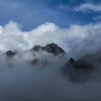
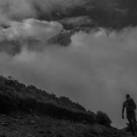
This morning an acclimation hike is planned to the local Everest view point at 3800 on a misty morning. On the way we walked through the local market, selling food from the neighbourhood. After eating meat momos the day before, my stomach was upset so while we could observe the hygiene at the local butcher, I understood why … During the ascension to the view point we visited the Sherpa culture museum. As expected during the climb, the viewpoint did not reveal the mighty Everest and we could only see clouds all over. Guess what I ate in the evening ….. veggie momos!!!!
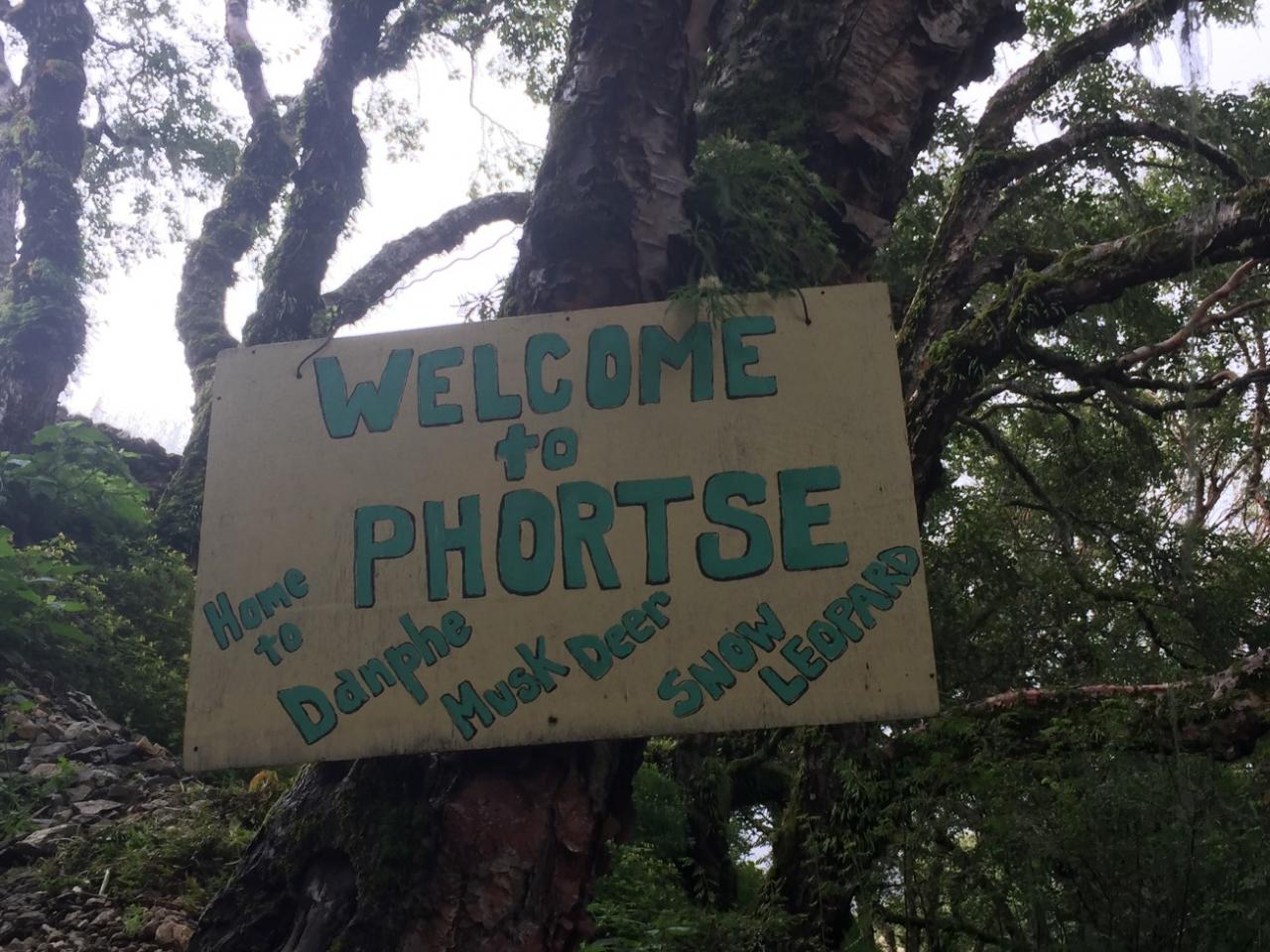
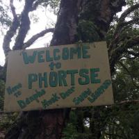
Day 4: Namche Bazaar (3440 m) to Phortse (3800 m)
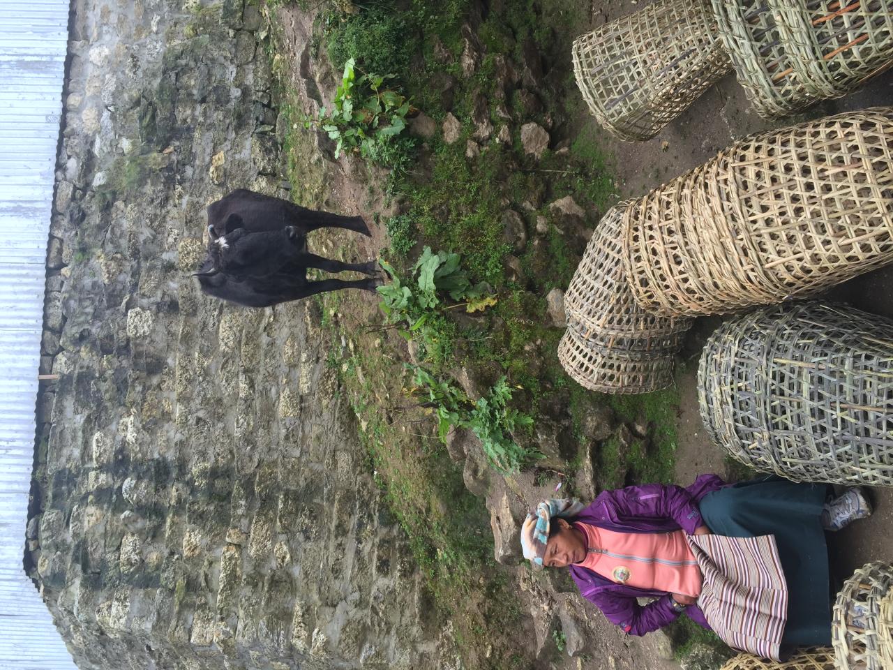
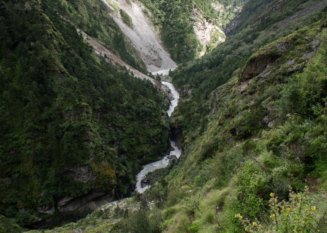
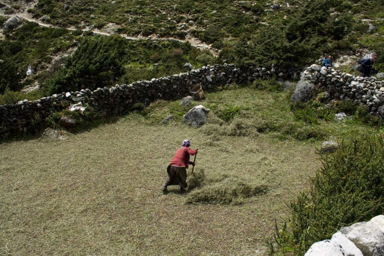
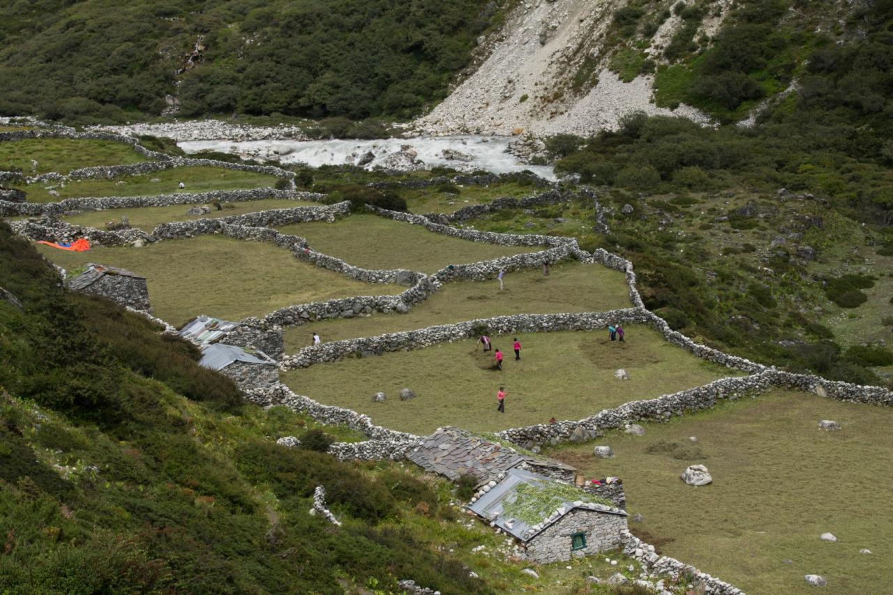
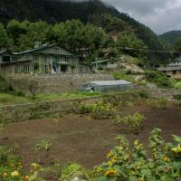
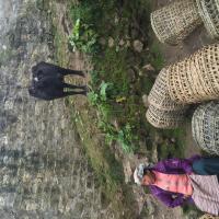
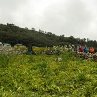
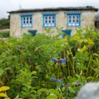
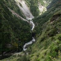
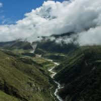
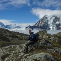
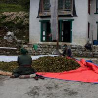
Due to upset stomach, I was not on my best shape to start up the hike. Still, this day offered us one of the most scenic view of our trip as we walked across a very steep and deep valley. We could see the Monastery of Tengboche, but still no mountains. Arriving in the village of Phortse was very interesting as we could observe the villagers harvesting their crops.
Day 5: Phortse (3800 m) to Pheriche (4200 m)
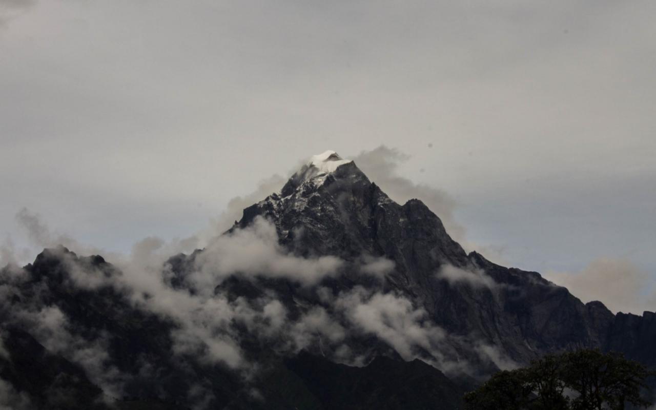
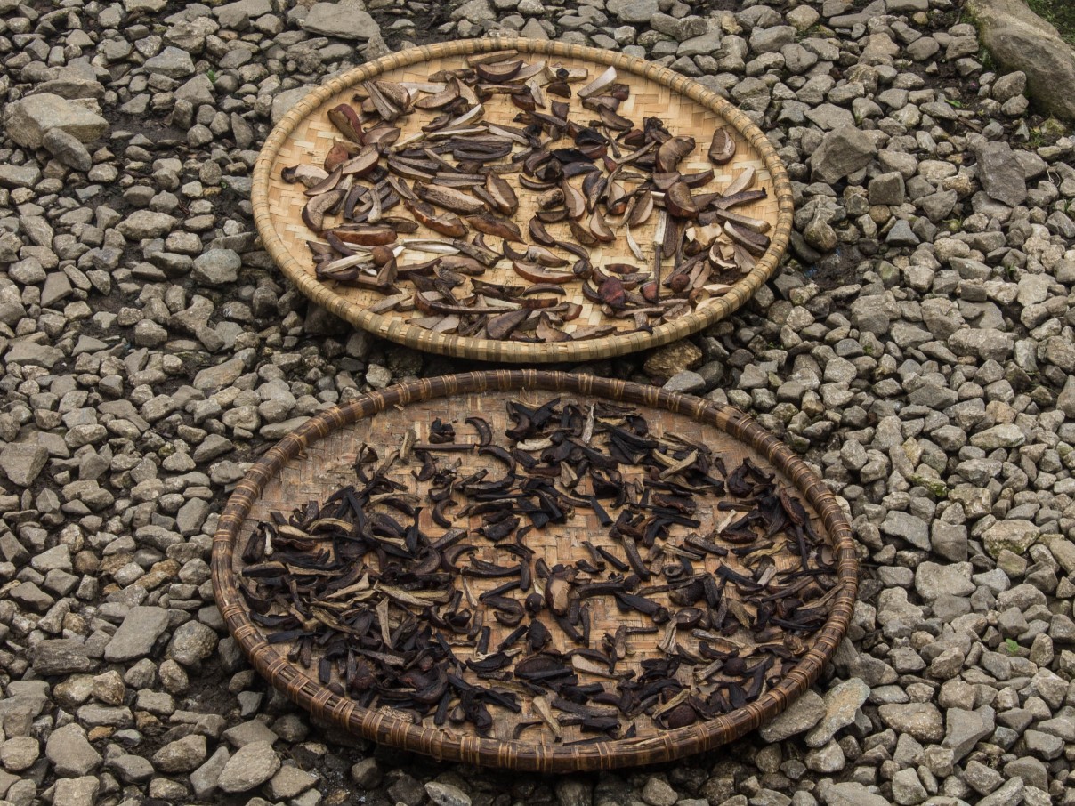
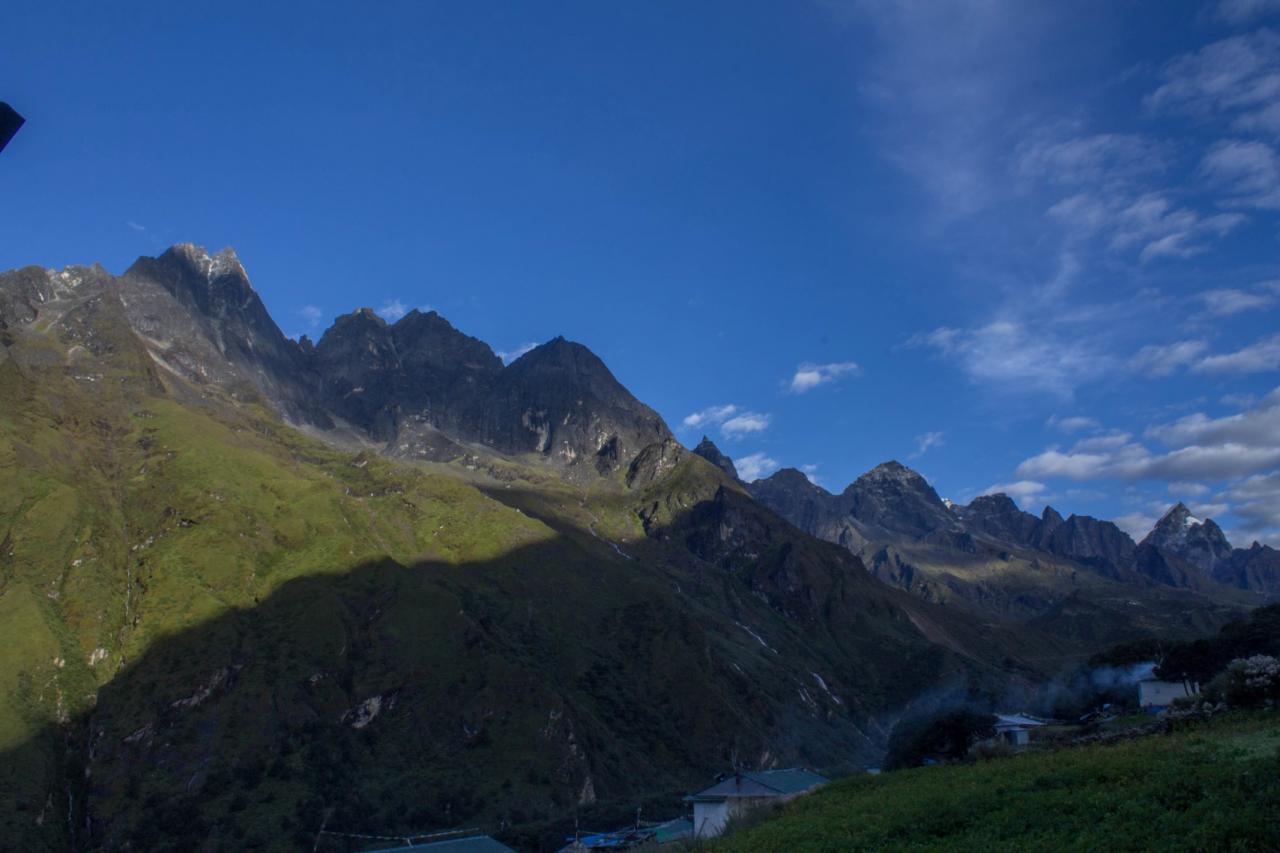
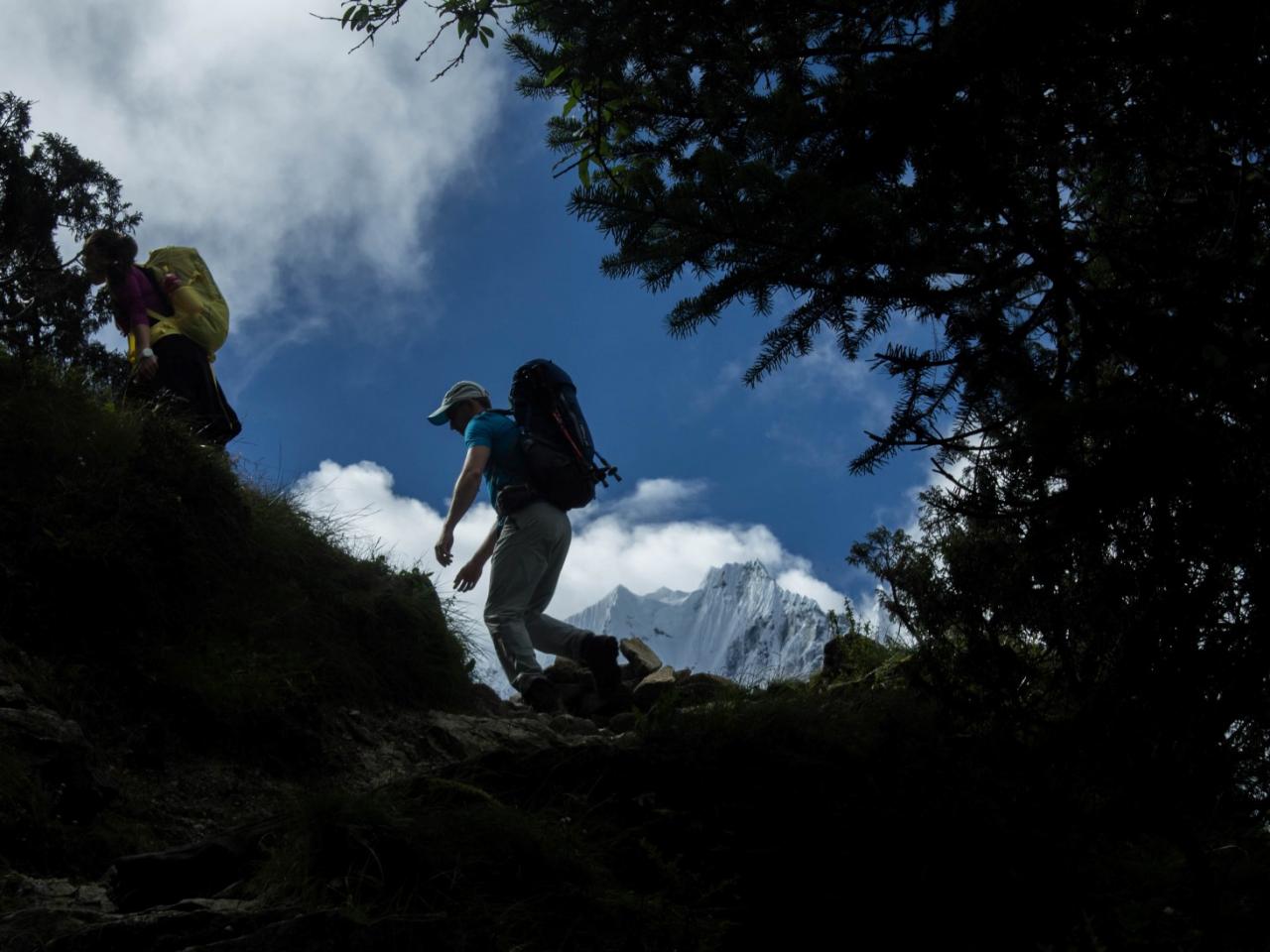
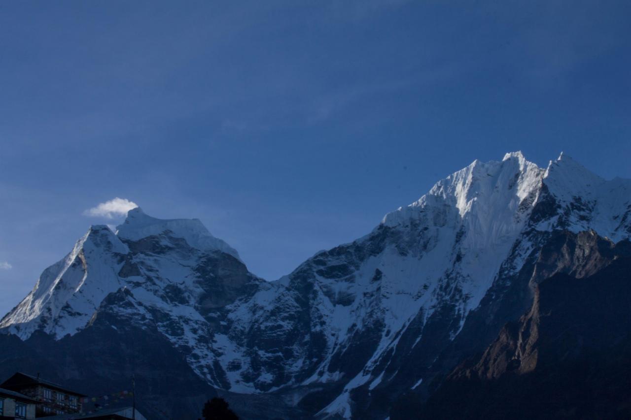
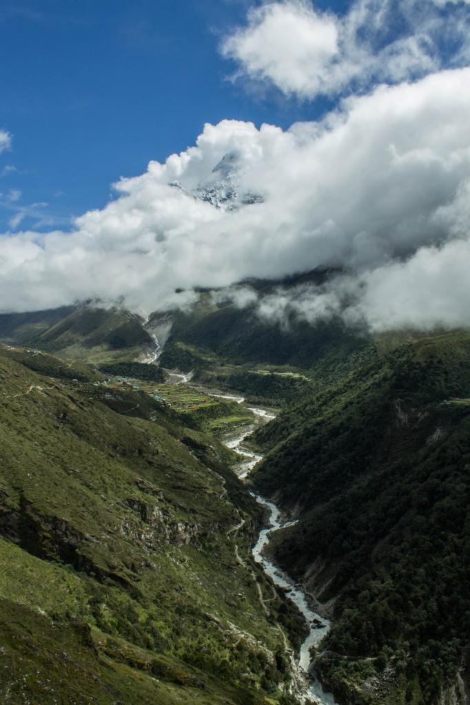
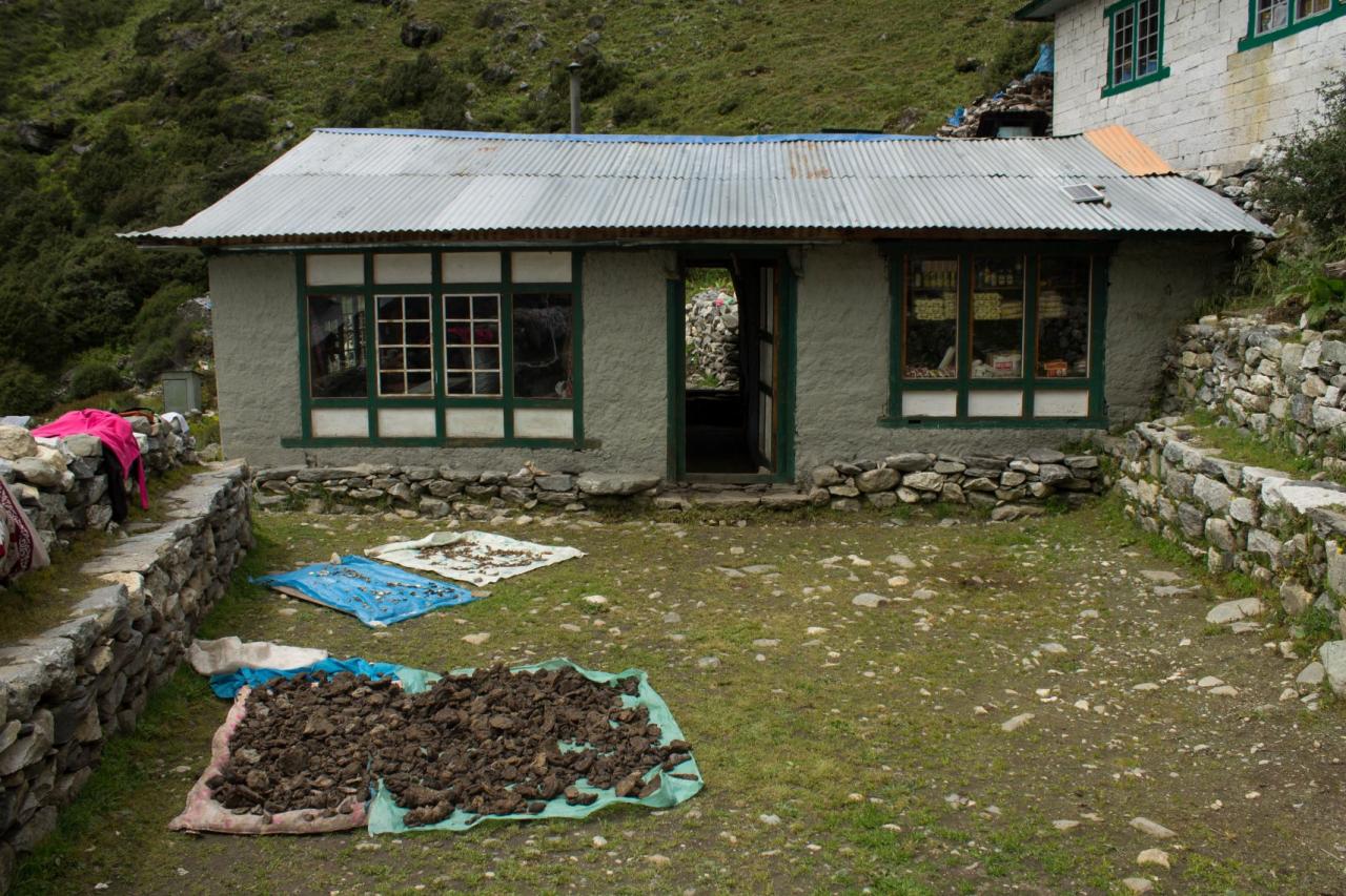
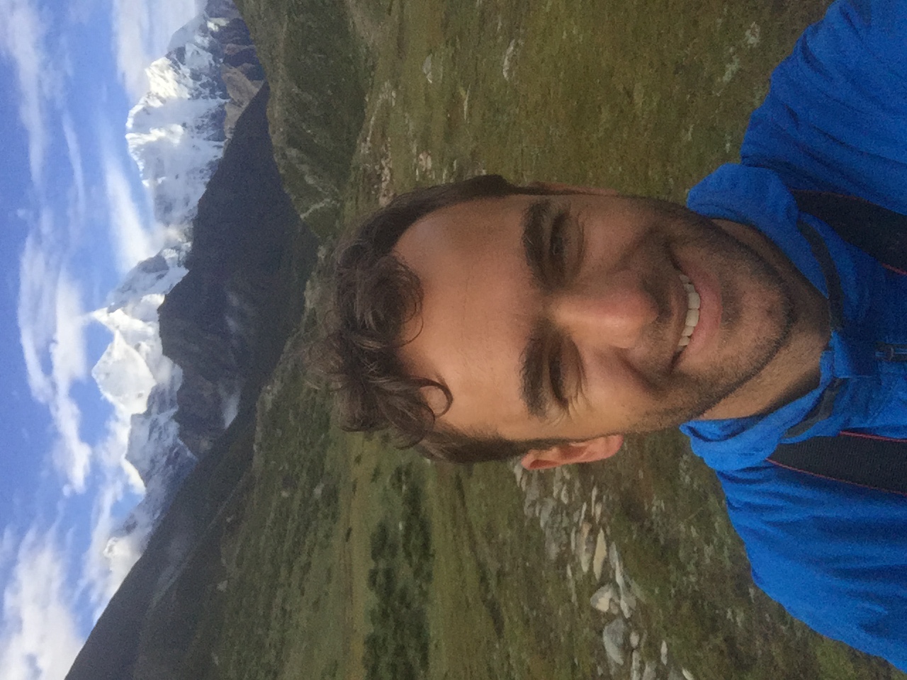
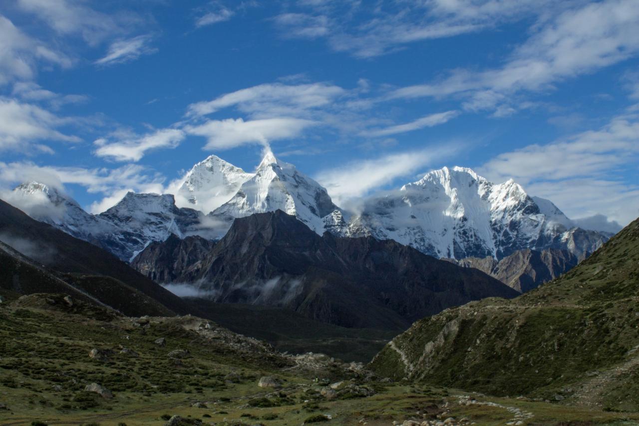
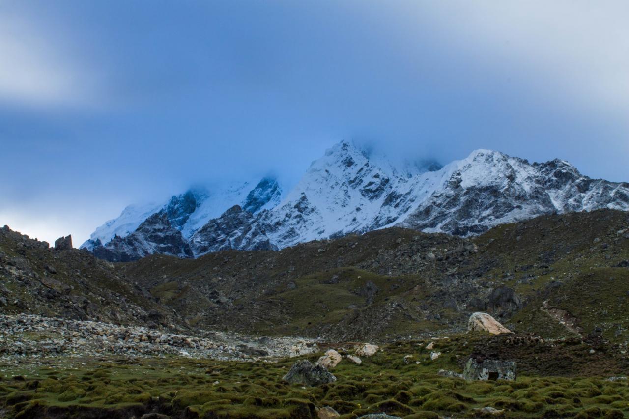
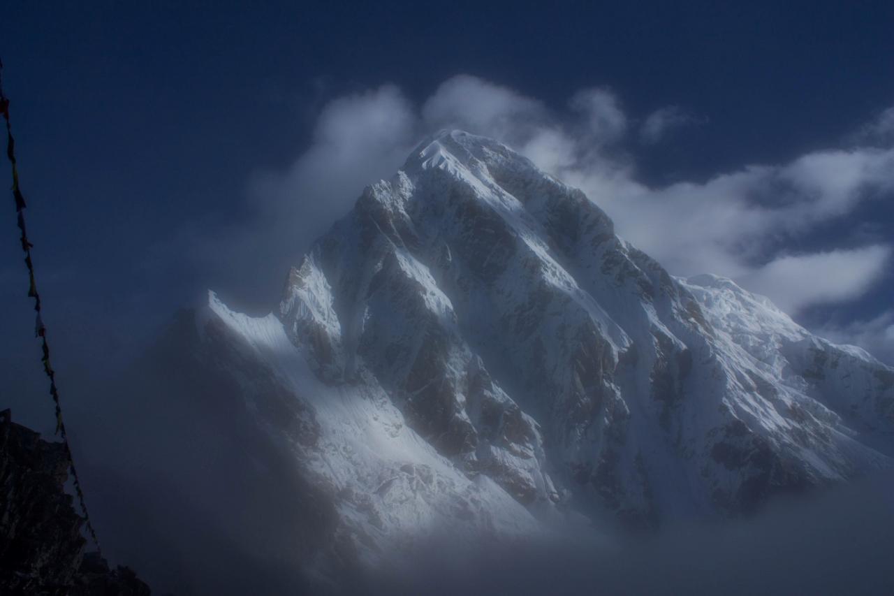
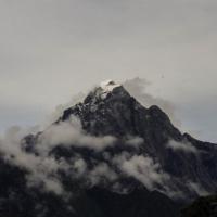
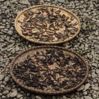
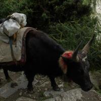
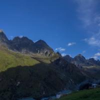
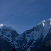
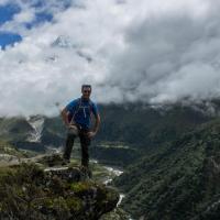
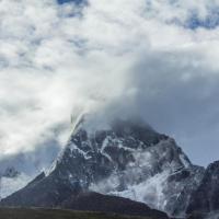
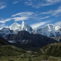
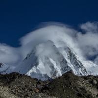
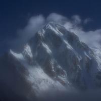
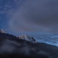
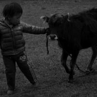
We woke up with a fantastic view on 2 snowy peak, Thamsherku (6,608 m, https://en.wikipedia.org/wiki/Thamserku ) and Khangtega (the latter was climbed first by a Japenese climber, 6782 m, https://en.wikipedia.org/wiki/Kangtega ). We started off at around 08:30 with a clear sky and we could still grab glimpses of the surrounding peaks. We could as well observe the traditional life in the region: We had a tea break on a small village, called Penbuche, while an itinerant butcher was selling his meat to the local Tea house. Additionally, we saw many mushrooms and Yak shit being dried up (used for heating and fire) in the courtyard of the houses. Later on we saw 2 new peaks, the Ama Dablam (6850 m, an almost compulsory peak to climb if you seek Everest climb, https://en.wikipedia.org/wiki/Ama_Dablam ) and a glimpse of the Everest on the far left. After 7 good hours of hiking we arrived in a glacier valley, where a tiny farmer village is standing next to the creak, Perishe.
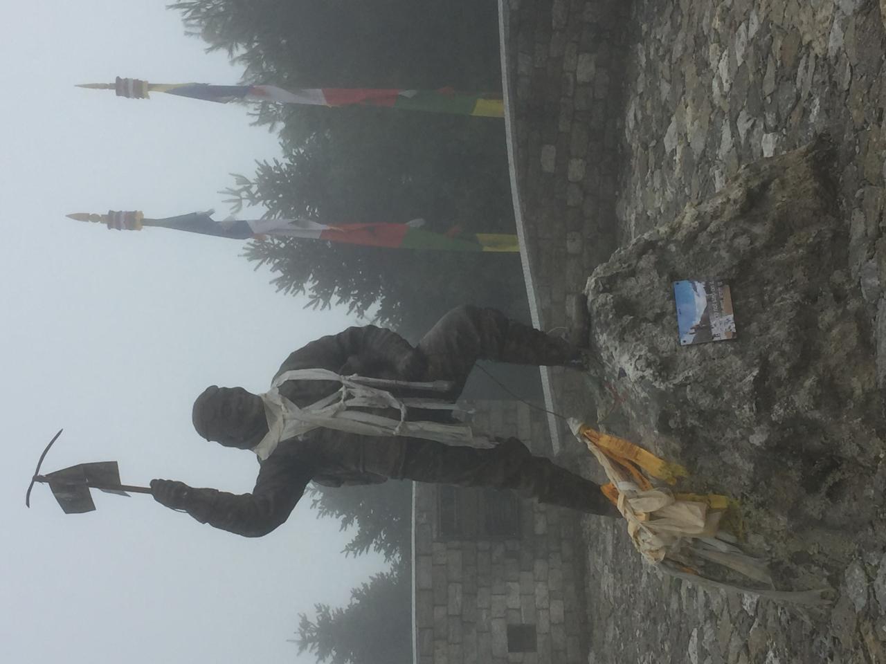
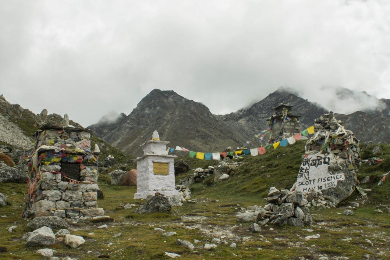
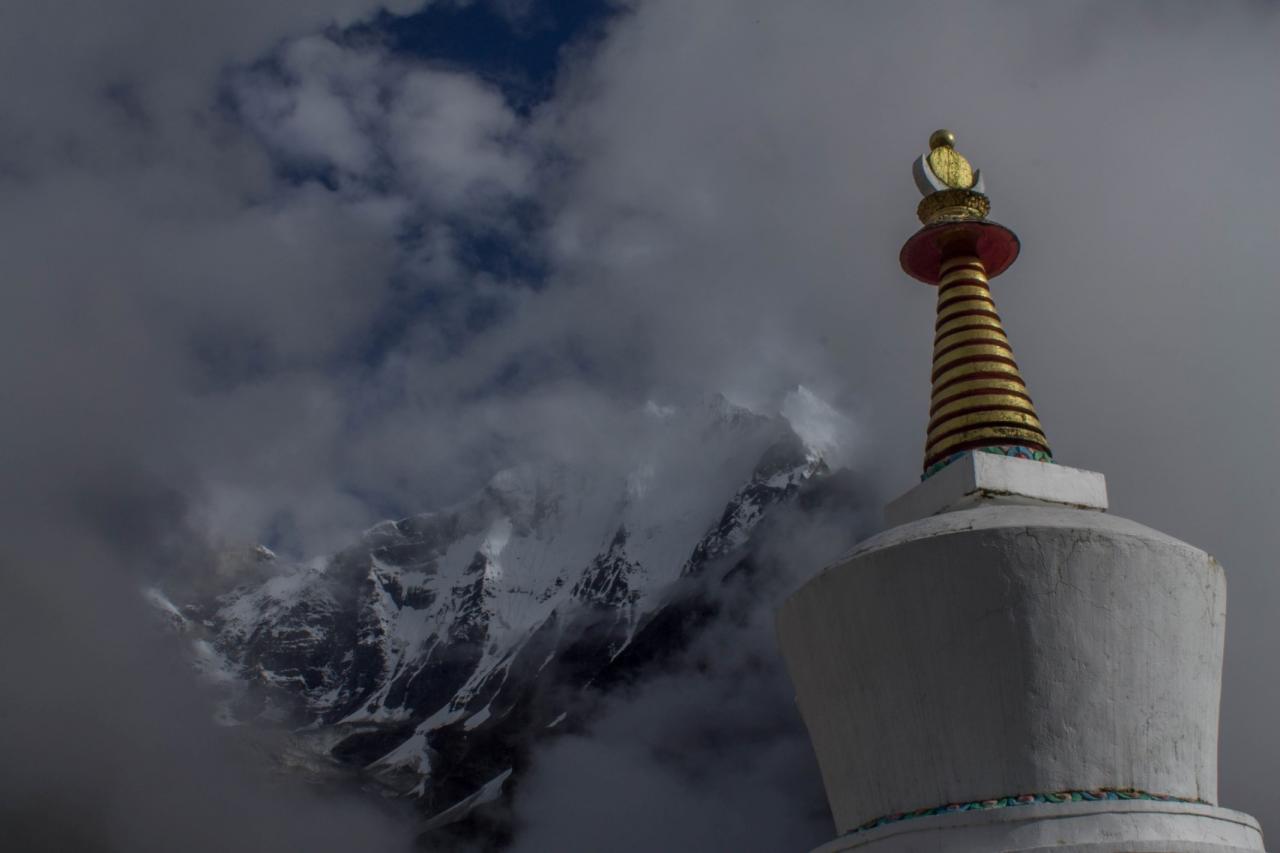
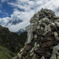
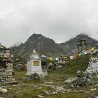
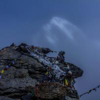
Perishe is known for its Sherpa hospital and a memorial for the climbers who died attempting the Everest.
Day 6: Pheriche (4200 m), acclimation hike to Nagarjun Hill (4800 m)
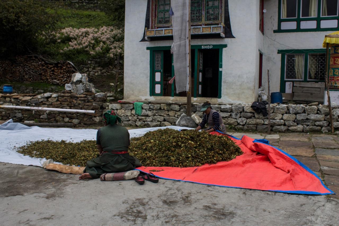
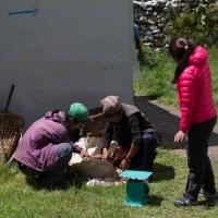
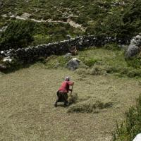
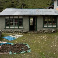
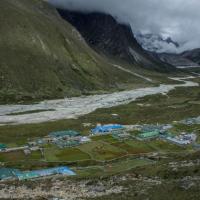
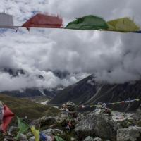
Not much happened that day. We had an acclimation hike on Nagarjun Hill, giving on each side a view of Pheriche and Dingboche. On the hill, we could see pilgrims tent waiting to have accommodation in Dingbuche (Dingboche was just opening and at the time only 1 guest house was open). In the evening after dinner, we were accompanied around the fire by the workers that harvested, during the day, Hay for the Tea house. It was funny to see them observing us with curiosity.
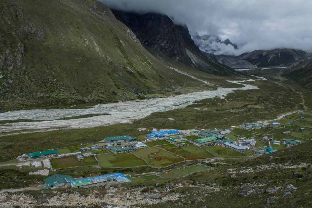
Day 7: Pheriche (4200 m) to Lobuche (4,928 m)
Lisa, Ant and Kathleen tried to fix and band the broken leg of a puppy dog staying at the Tea house, … will it last?
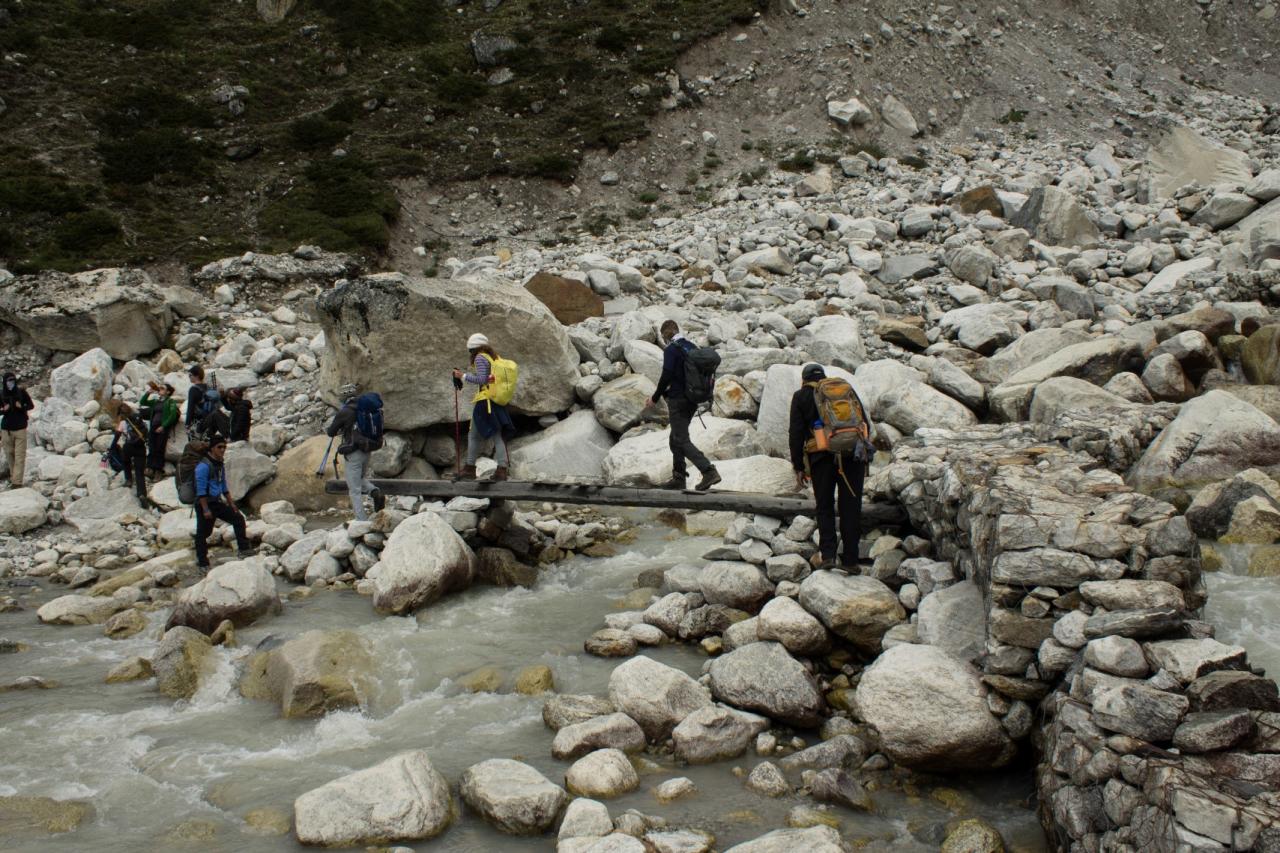
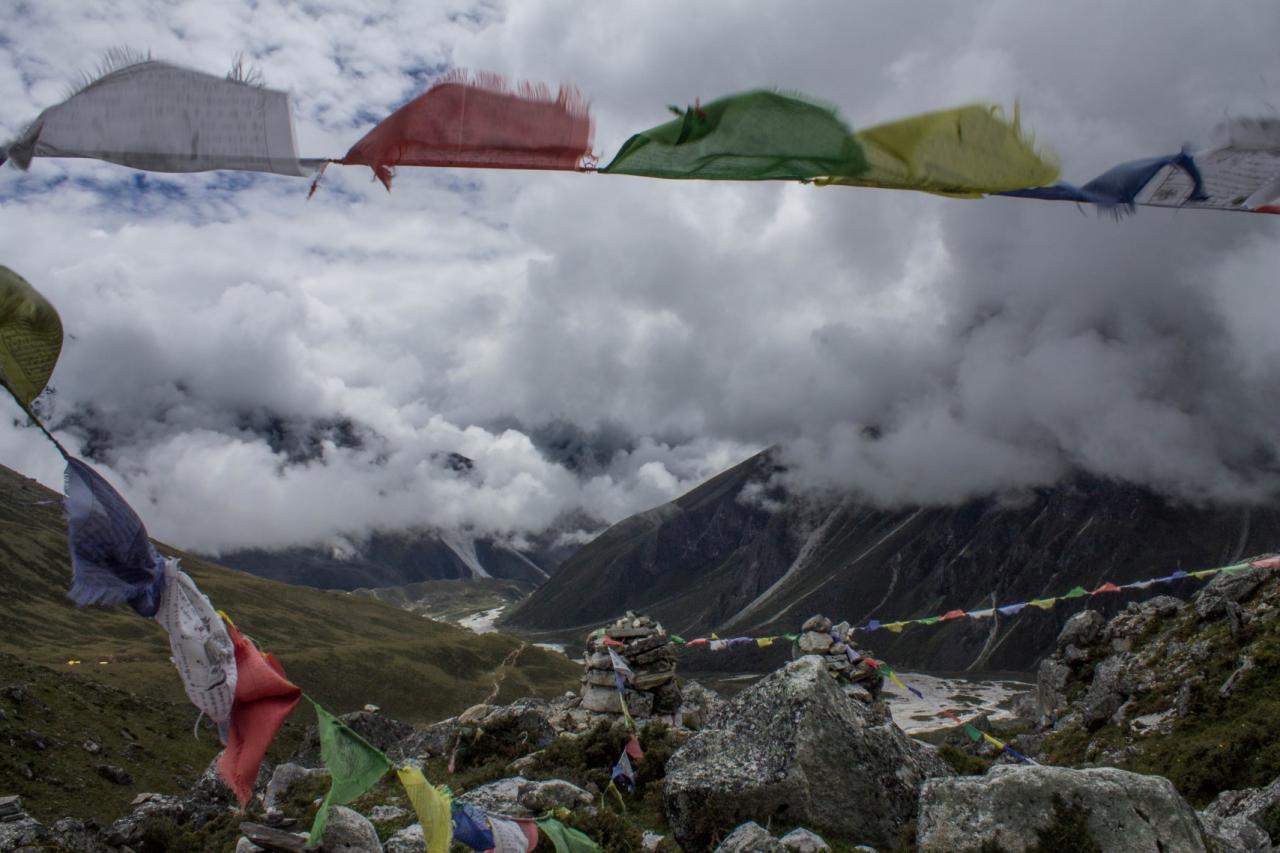
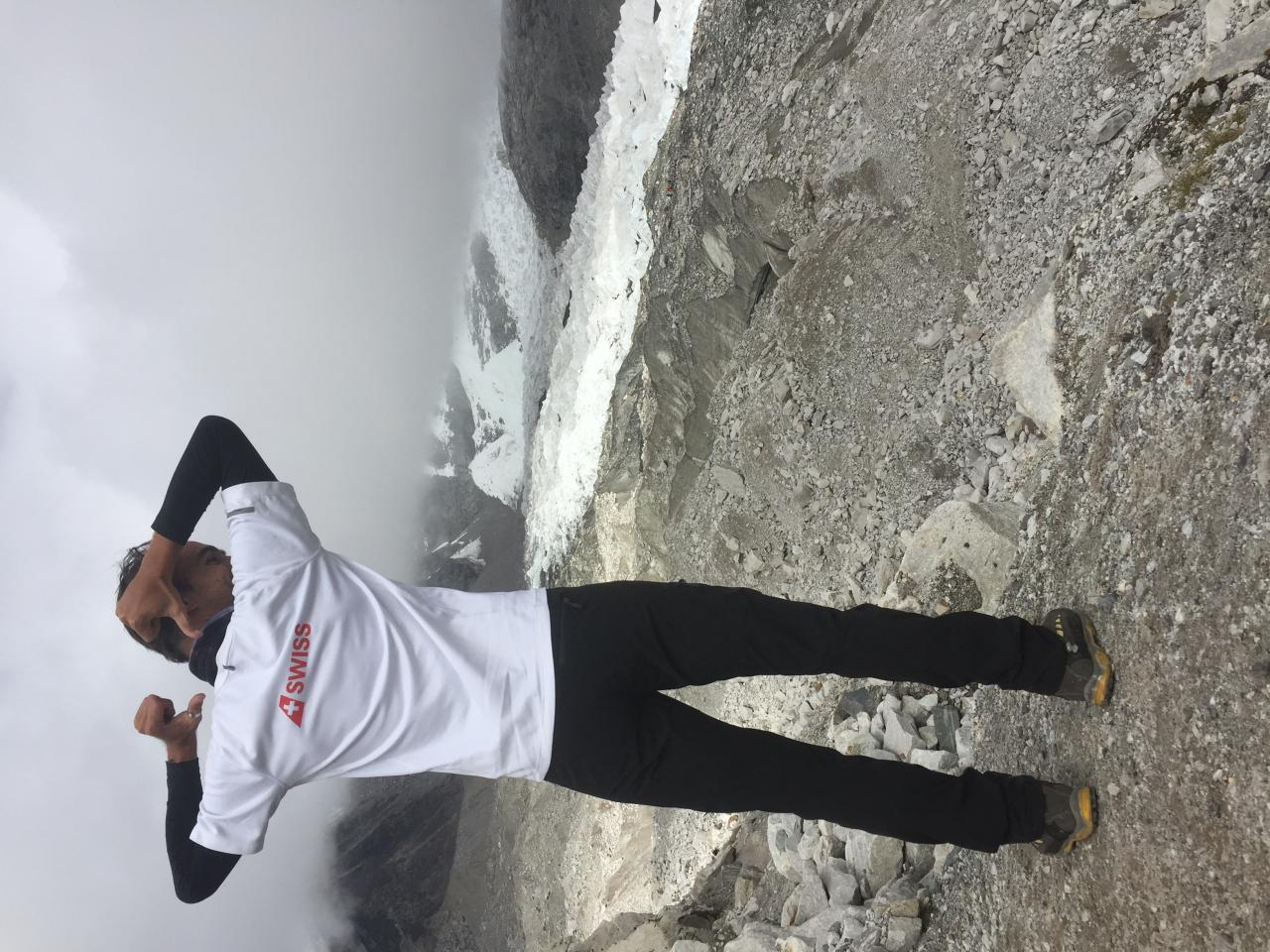
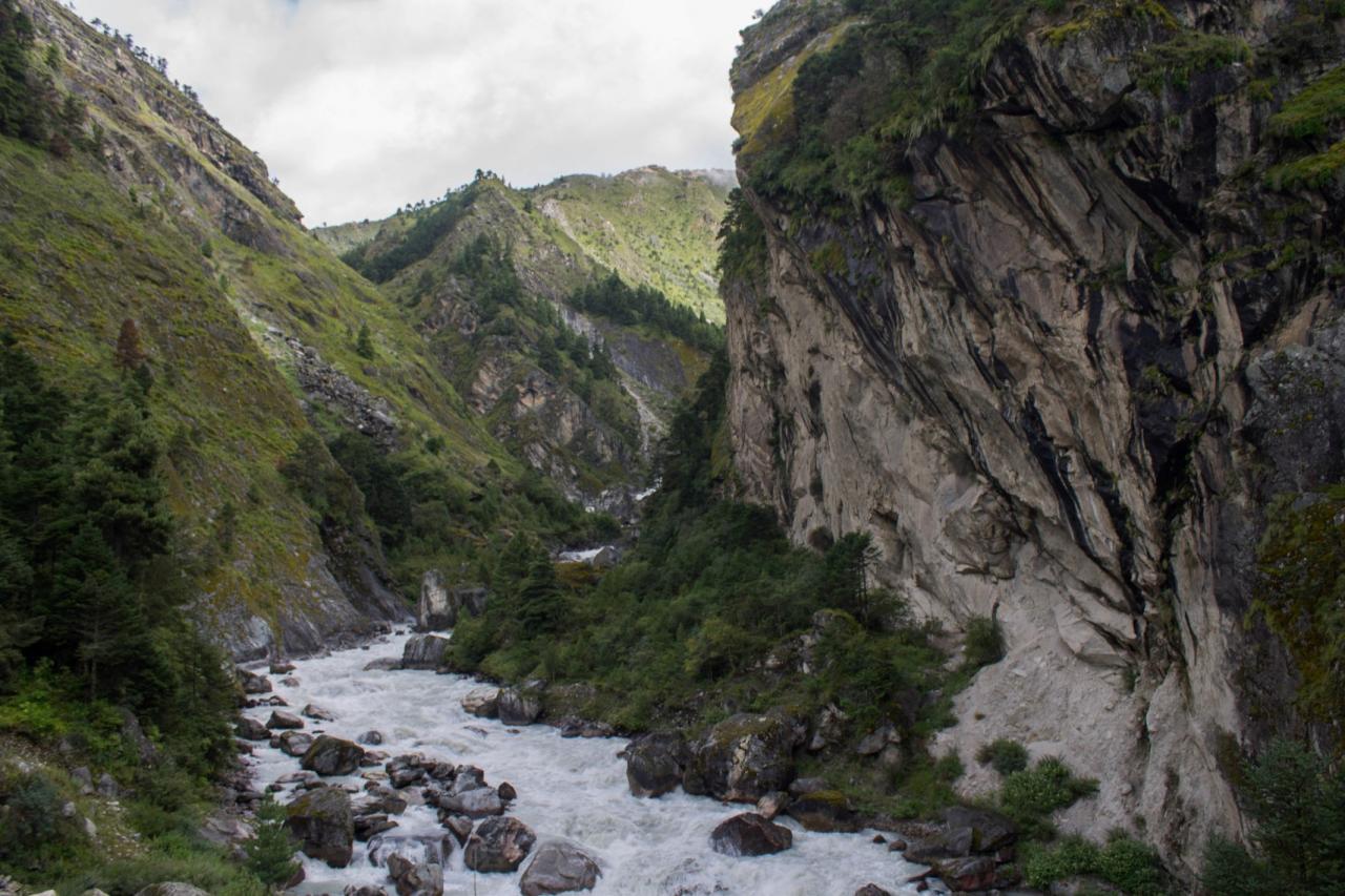
The walk to Lobuche made us cross a glacial creak, reach a memorial (that included Scoot Fisher ones from the famous 1996 expedition that turned into a disaster) and walked along the Kombo glacier until we reached Lobuche, an even tinier village.
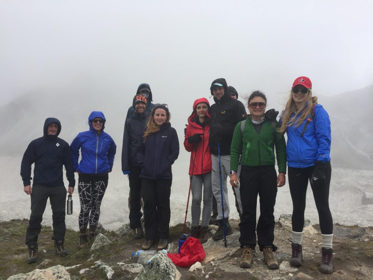
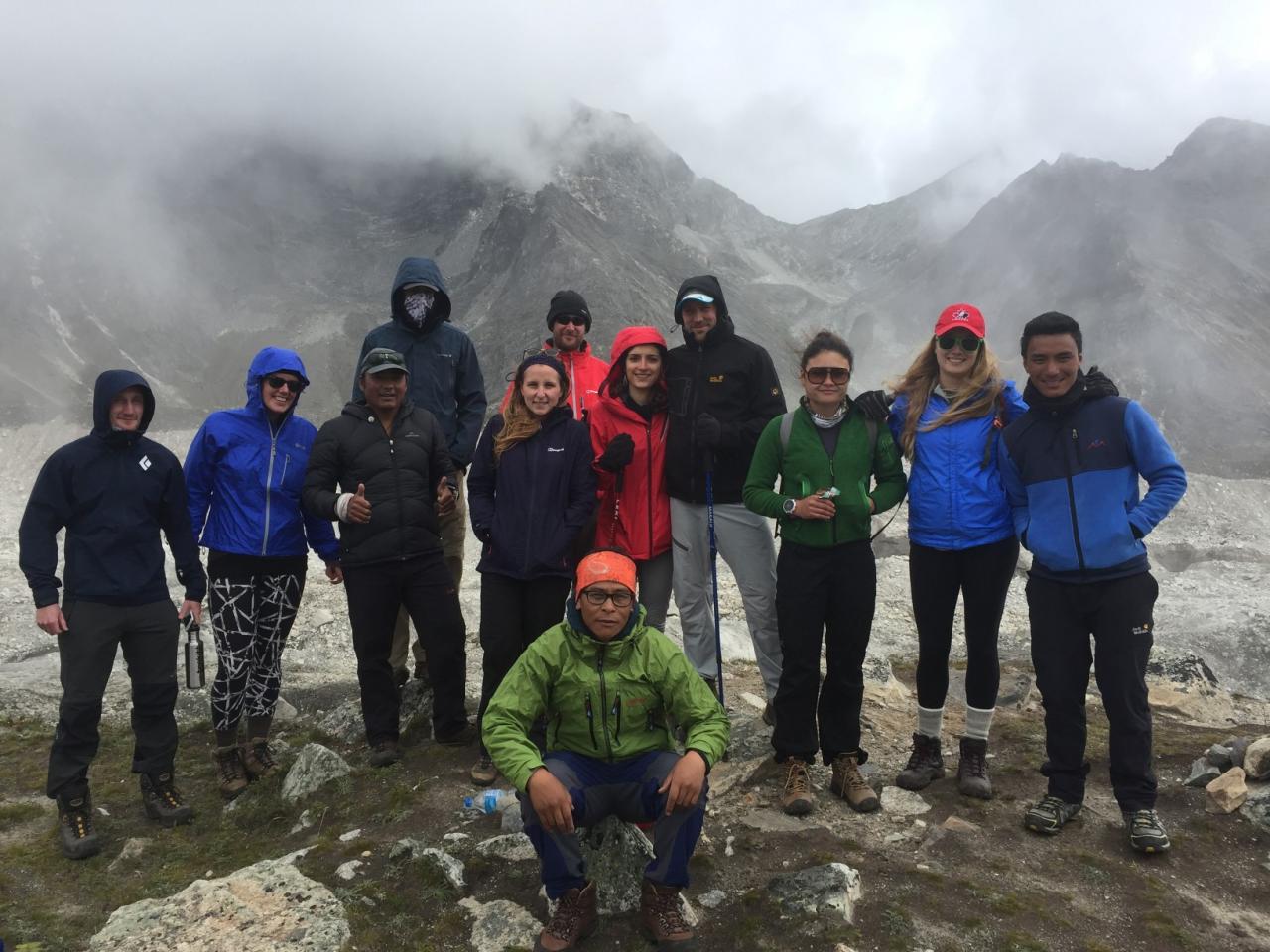
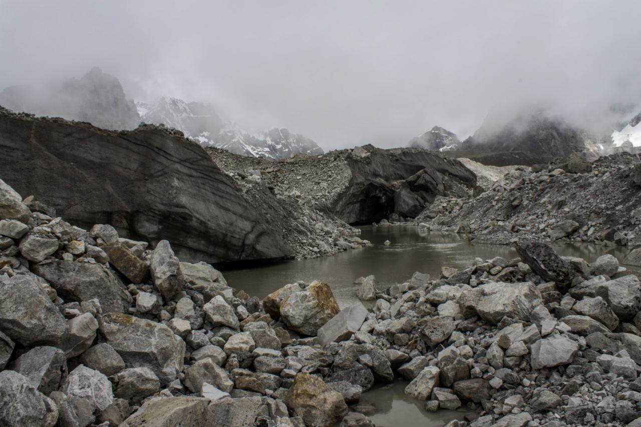
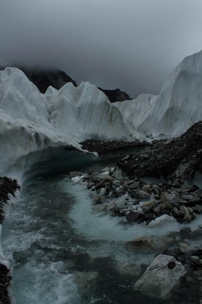
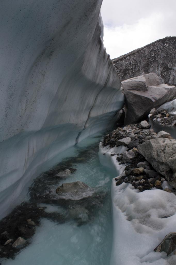
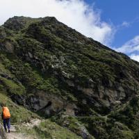
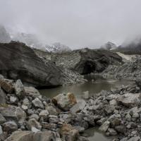
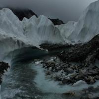
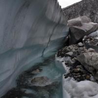
After lunch we went up the hill to a view point over Kombu glacier. It was freezing cold and the view was rather disappointing so we did not stay long. The glacier looks like a giant qarry as the ice is covered by a thick layer of stone and gravels. Tomorrow is the day J
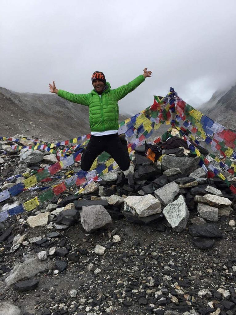
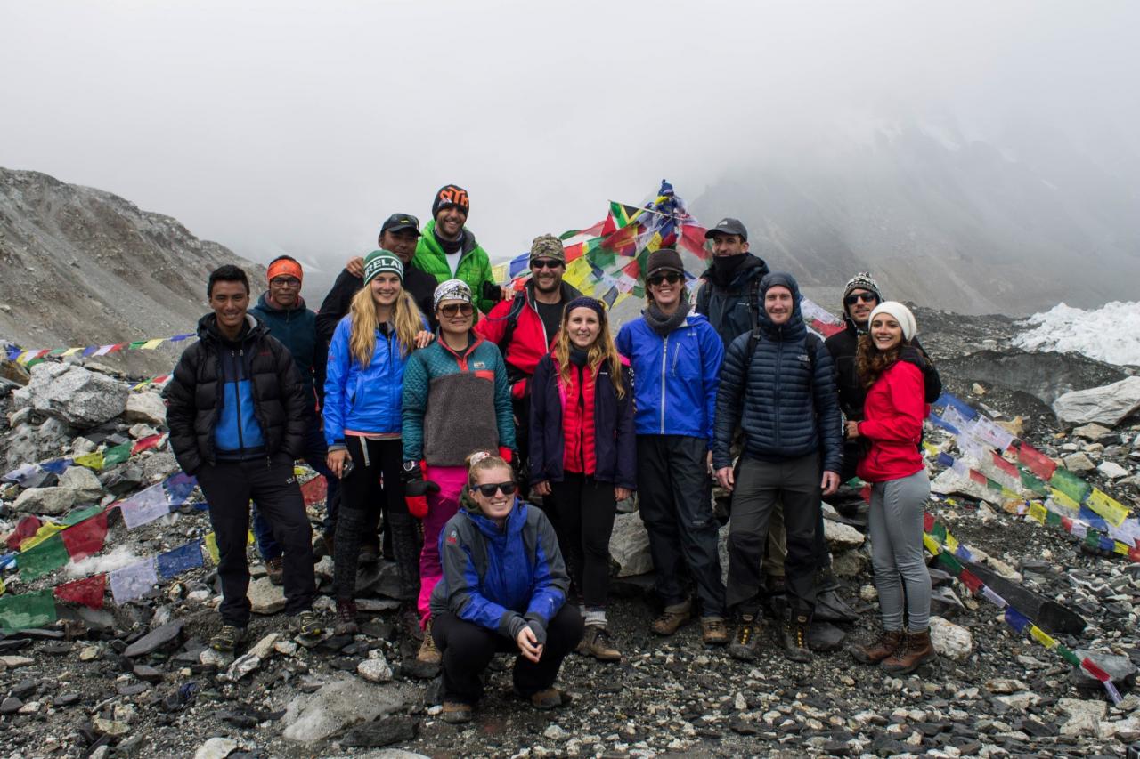
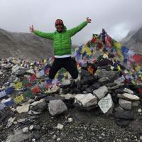
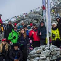
Day 8: Lobuche (4,928 m) to Everest Base Camp (5364 m)
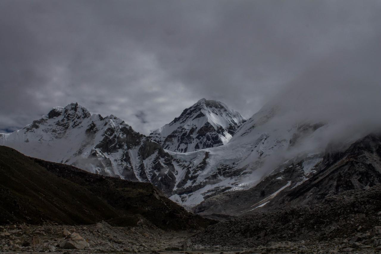
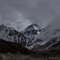
The weather this morning looks promising with a sunny start. We could see Chhukung, Nuptse (7,860 m) and Lohtse (8,500 m) peaks. We walked through the parallel valley to the Kombo glacier then up a rocky way onto the glacier to reach Gorakshep (5140 m). After tea break, we headed through a sandy path then up to a valley parallel to the Glacier. We reached at the end the Glacier, walking on it was very treacherous and we had few incidents. The camp place itself was empty as it is not the season yet, however it was interesting to see that the camp is standing on ice!!! The first challenge for the climbers is to cross a sea of ice (reaching something up to 10/15 meters. However it was offering such a sight on glaciers creaks…the colors were amazing.
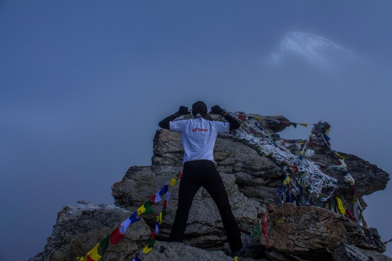
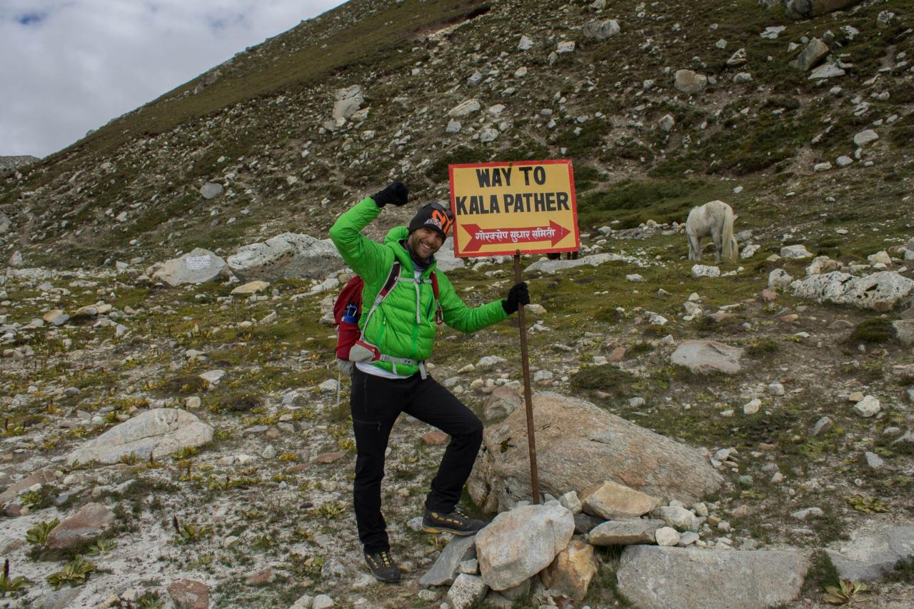
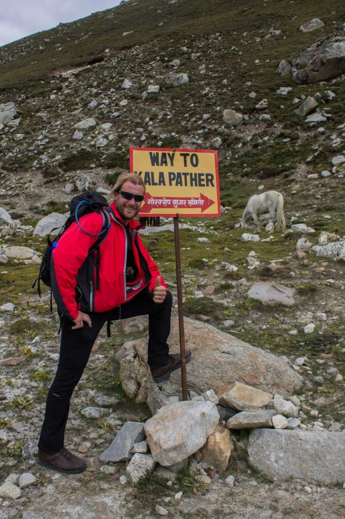
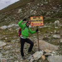
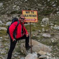
Day 9: Kala Patar (5,100 m) to Orsho (4100 m)
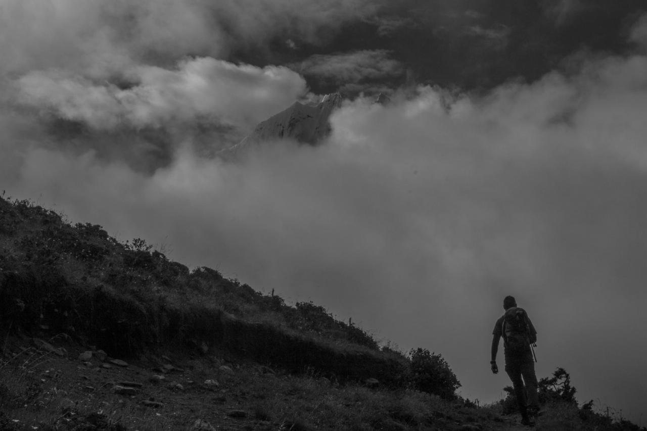
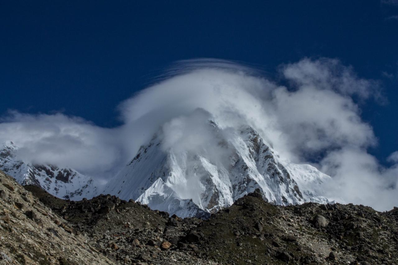
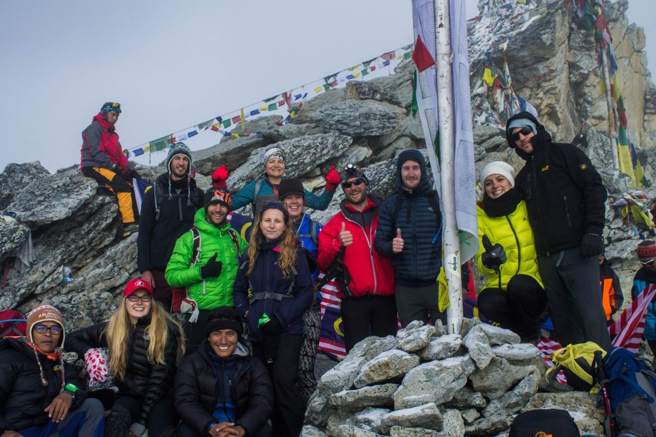
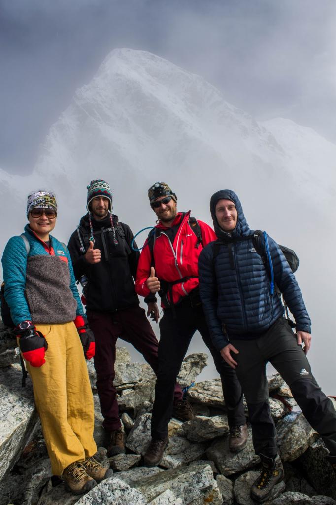
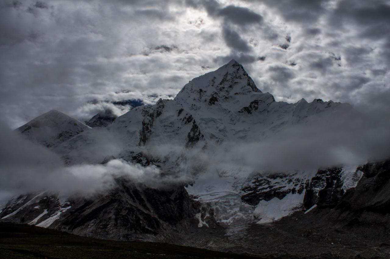
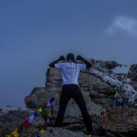
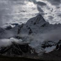
Early start today in order to have a chance to grab a nice view on top of Kala Pathar. We got up at 04:30 am and started the climb of Kala Pathar mountain (5545 m). The climb was rather steep on a rocky trail. After 01:45 climbing we finally reached a frosty top. The view on top of the mountain is supposed to be astonishing offering prime view of Everest, Lhotse, Nuptse and other surrounding peaks…but the luck was not with us. Still we had a great view on Pumo Ri (7,160 m, https://en.wikipedia.org/wiki/Pumori ). Moreover on the way down, we had the luck to see a glimpse of Everest behind Lohtse mountain.
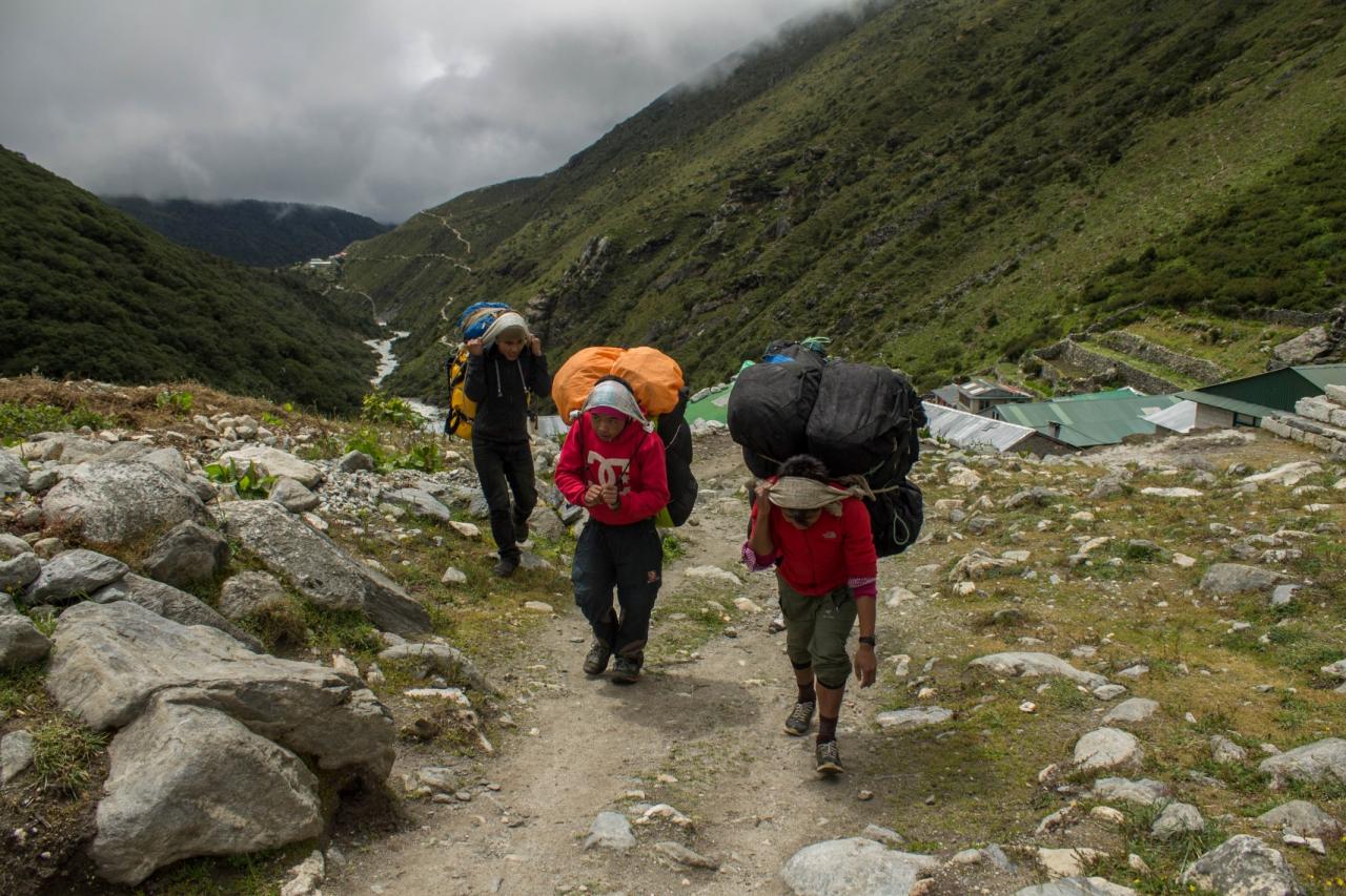
Day 10-12: Orsho (4100 m) to Luckla (2850 m) via Tengboche (3840 m) and Monjo (2860 m)
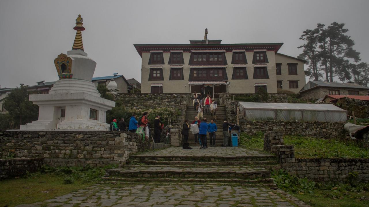
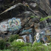
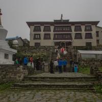
We took a similar route on the way down beside the stop at Tengboche. I must say Tengboche was very interesting as we overnighted in front of the monastery and assisted to one of their prayer session. Beside this experience, we met a friend in Namche J and had a little dancing party in Monjo. The view of Luckla runway upon arrival was funny as well (the airport was closed due to weather conditions but accessible to anyone). The next day we had to kill time as we could not depart but finally on day 14 on the morning, we made it so I could meet again with Moni!
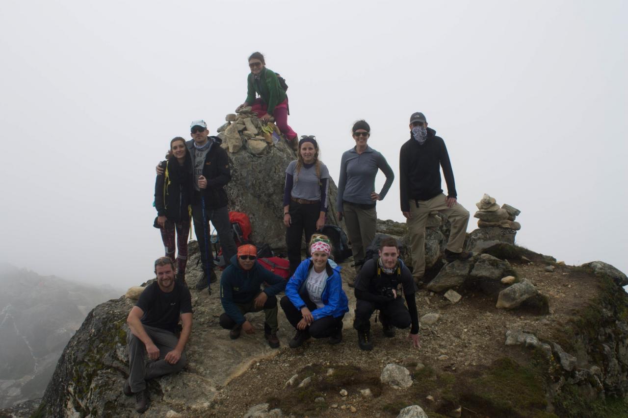
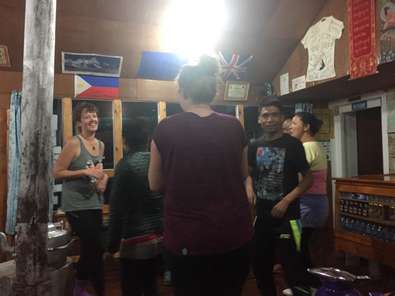
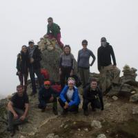
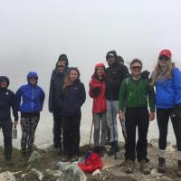
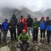
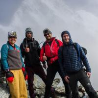
I would like to sincerely thanks our crew during the trip, especially our guides Prem, Gadge, Anil and Jay as they were always helpful, and supporting. I had a great time as well with the group with some funny and some special characters. Next step, Bardia!